Chile: Atacama Desert

 Updated 23 August, 2001
Click on these stamp-sized images to see larger versions.

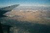

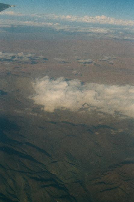
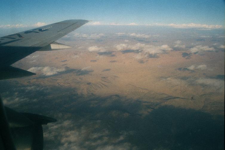
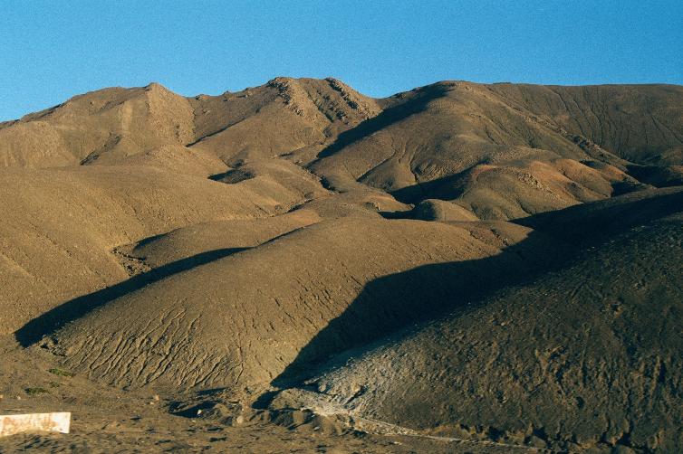
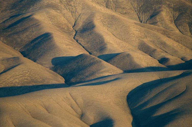
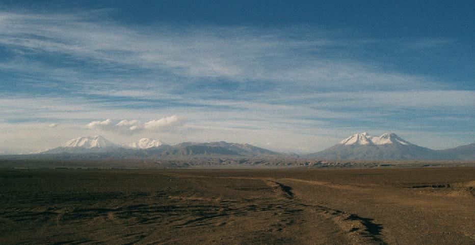
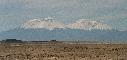
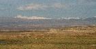
1st-2nd: Flying over the Atacama Desert, the driest desert
in the world.
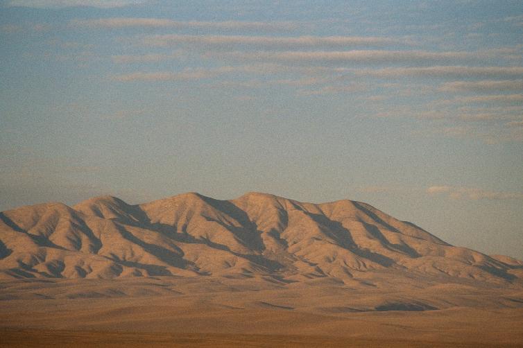
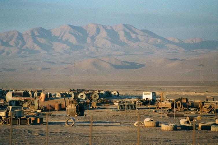
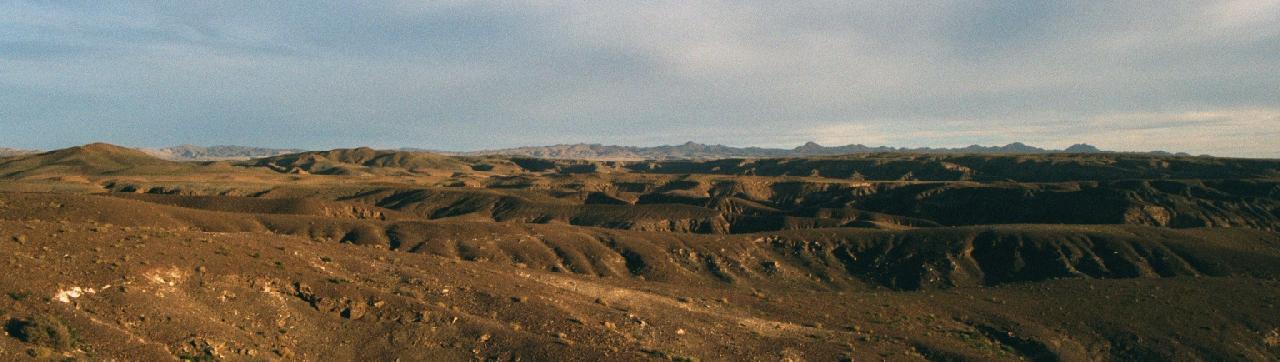
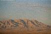
3rd-6th: Desert scenes along Ruta 5 toward Calama.
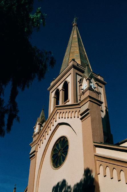
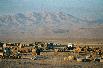
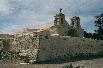
7th: Iglesia Catedral San Juan Bautista, in
Calama, pop 120,000, elev 2250m:
the commercial center for the world's largest copper mine,
Chuquicamata.
This mine was in existence even before the Incas,
but was really opened up for massive exploitation
by the Gugghenheims in the 1910's.
Now copper is one of Chile's most valuable products.
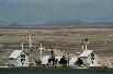
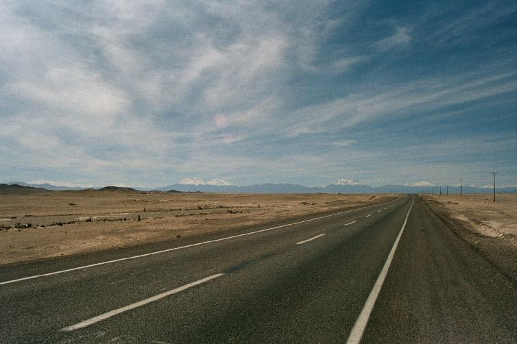
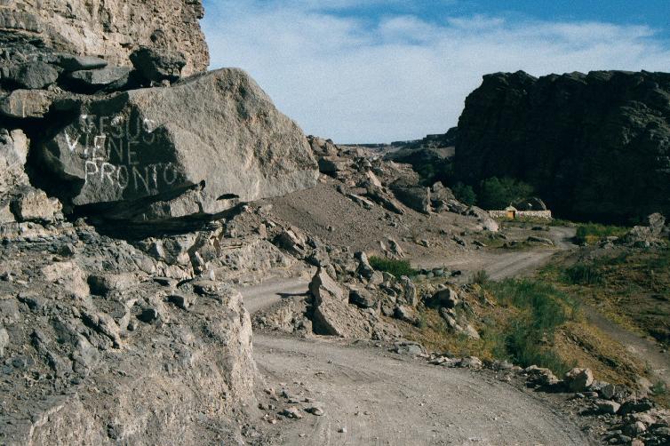
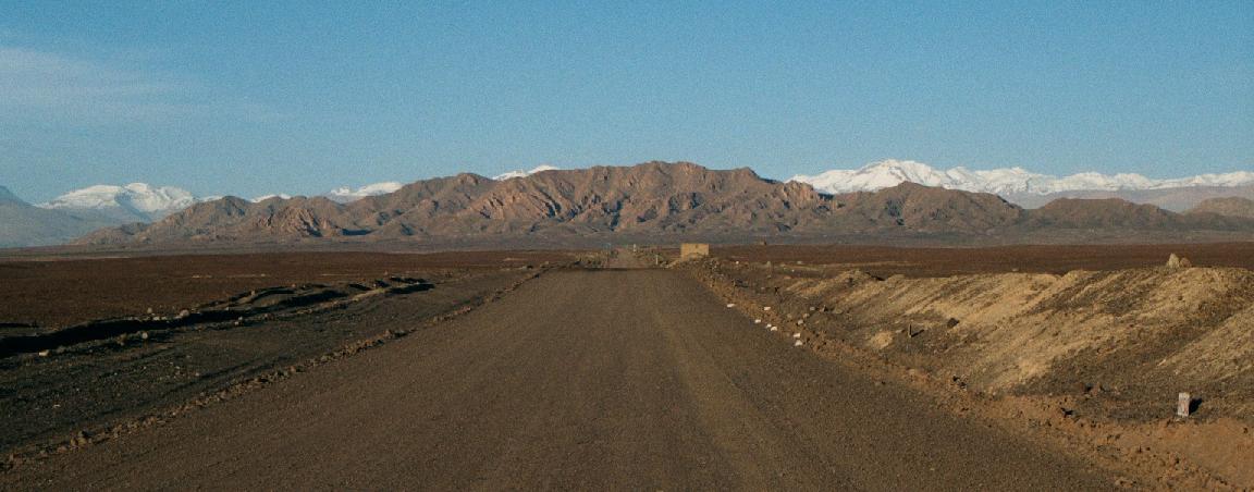
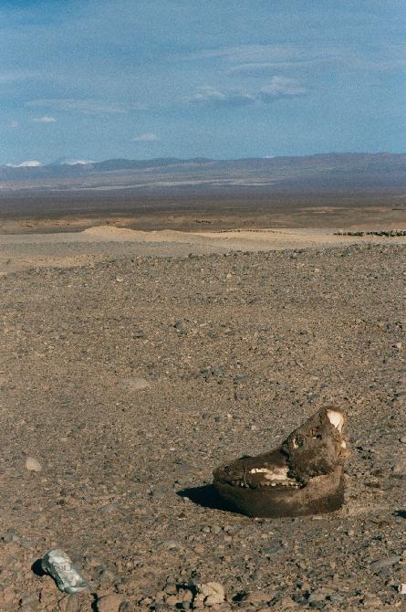
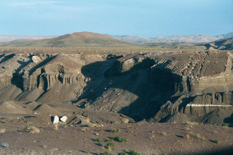
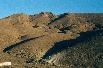
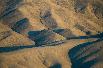
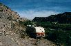
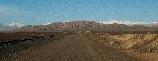
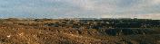
1st-2nd: Leaving Calama, into the hot, dry desert, where not
the slightest shred of non-human life is evident.
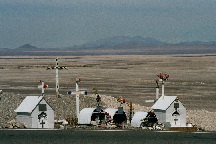
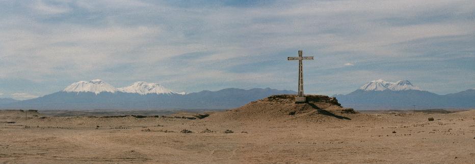
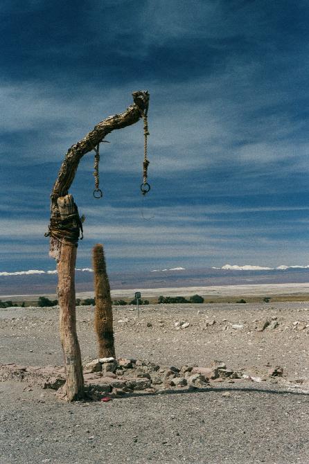
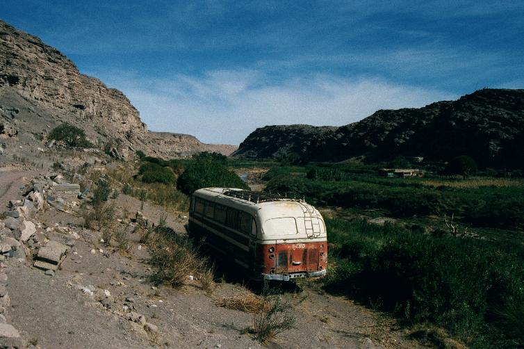
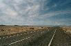
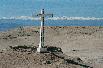
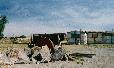
3rd: The roadsides in Chile bristle with these reminders of
traffic casualties.
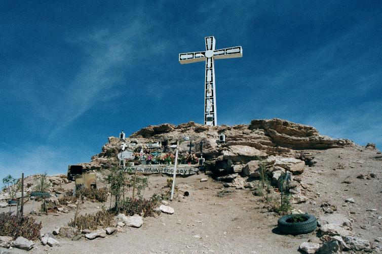
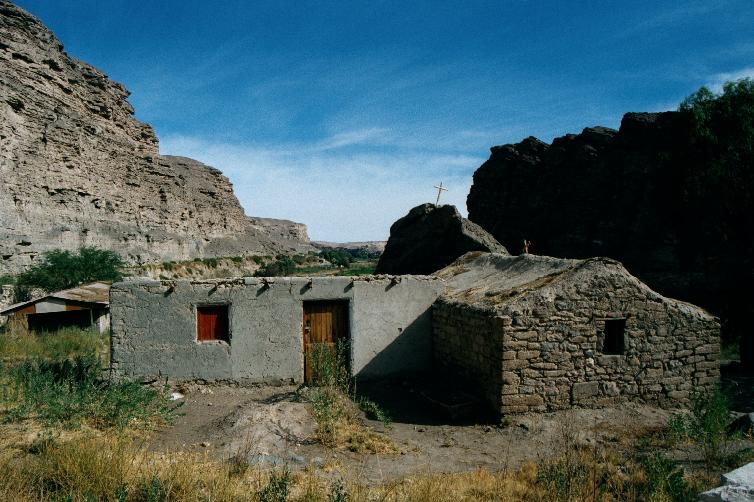
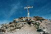
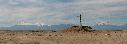
4th-6th: This cross marks a memorial
to a Pinochet-era political assassinee.
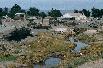
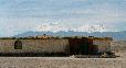

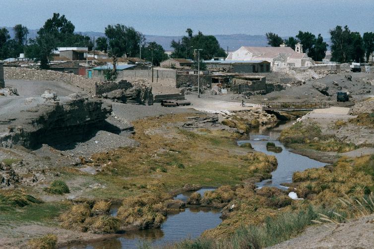
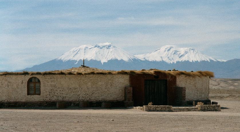
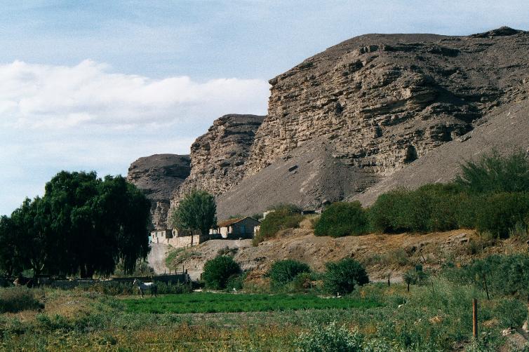
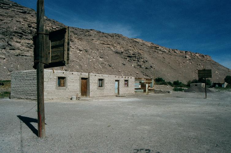
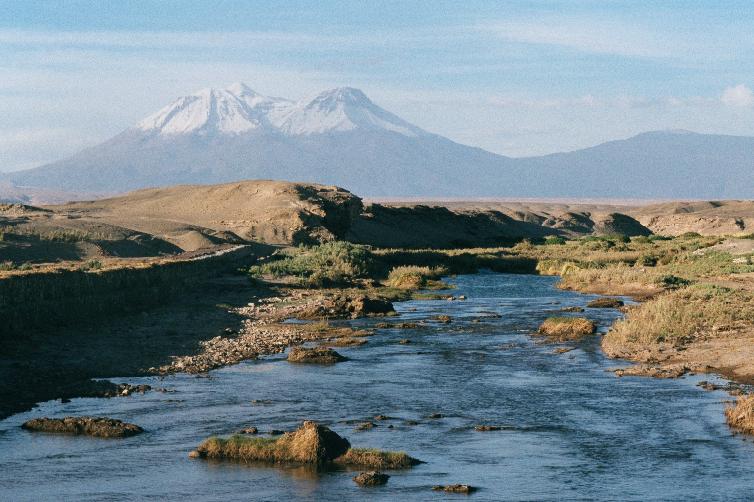
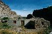
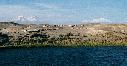
1st: Chiu Chiu, seen from across the Río Loa:
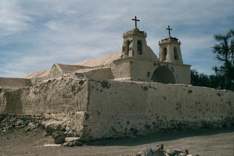
pop 300, elev 2500m.
2nd: Iglesia de San Francisco, dating from before 1675.
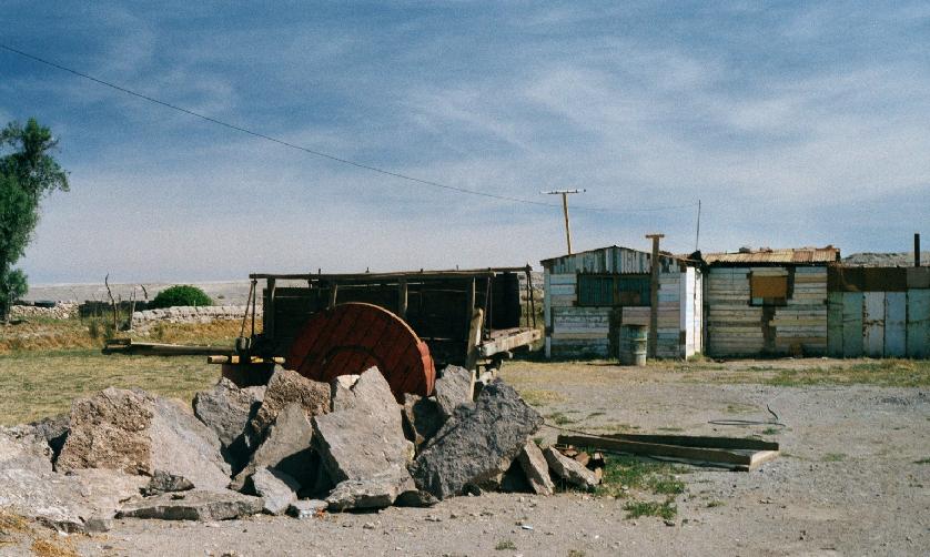
3rd-6th: Scenes from in and around Chiu Chiu.

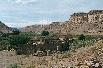
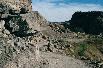
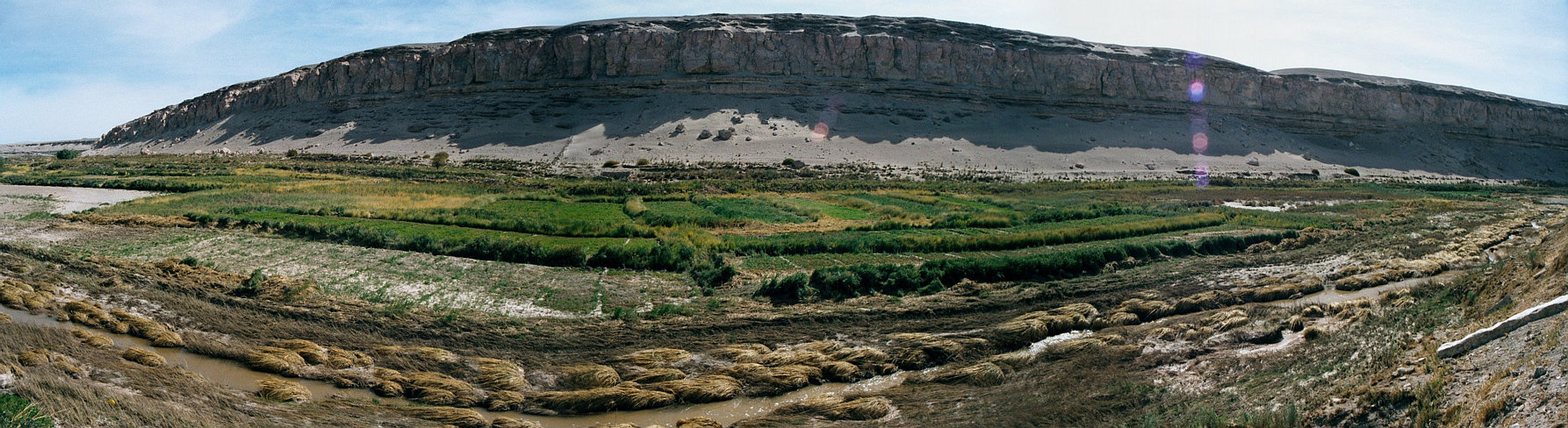
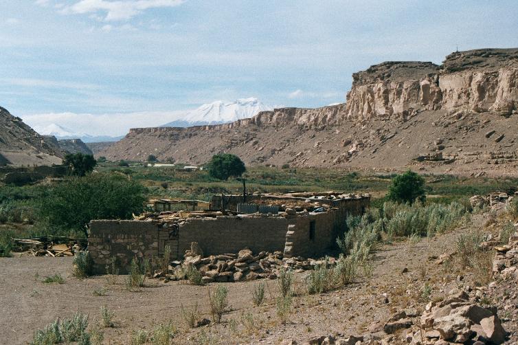
Valle del Río Loa.

1st-4th:
Scenes from Valle del Río Loa.
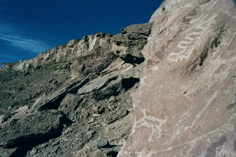
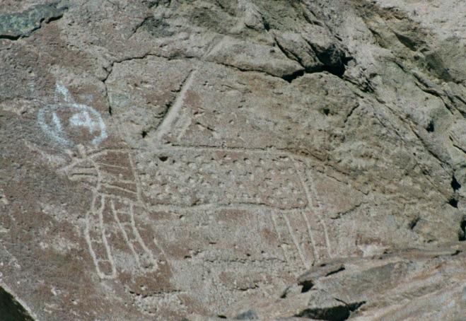
5th-6th:
Pictoglyphs, dating from 400-1700 A.D.
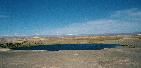

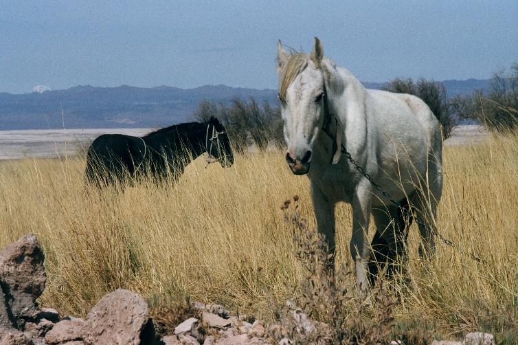
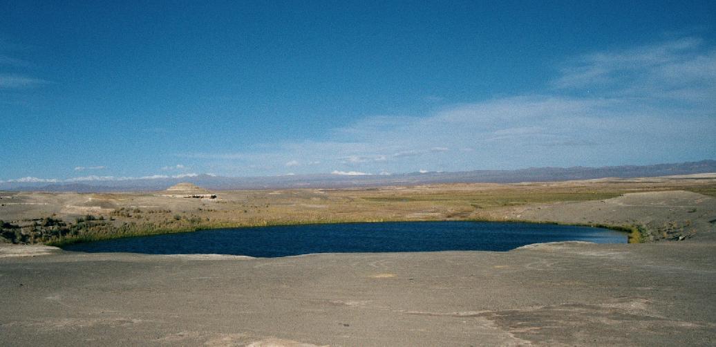
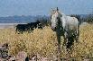
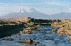
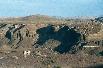
1st-3rd:
Strange circular lake near Chiu Chiu,
of apparently unknown depth and origin.
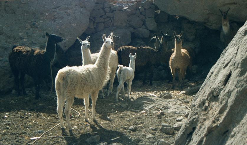
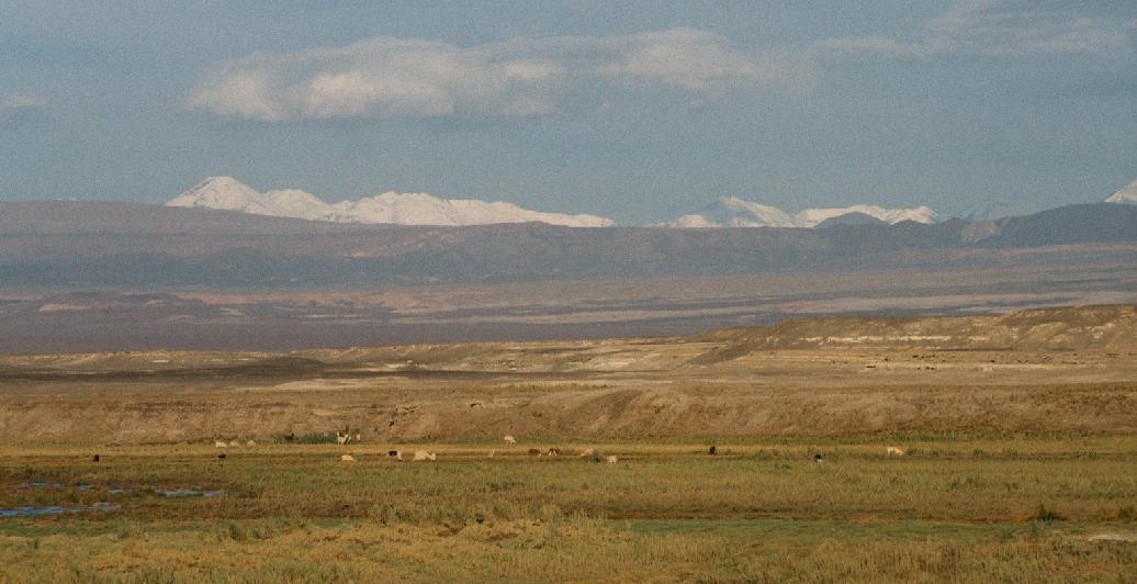
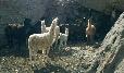
4th:
Llama herds in the distance.
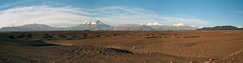
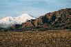
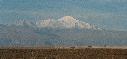
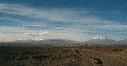
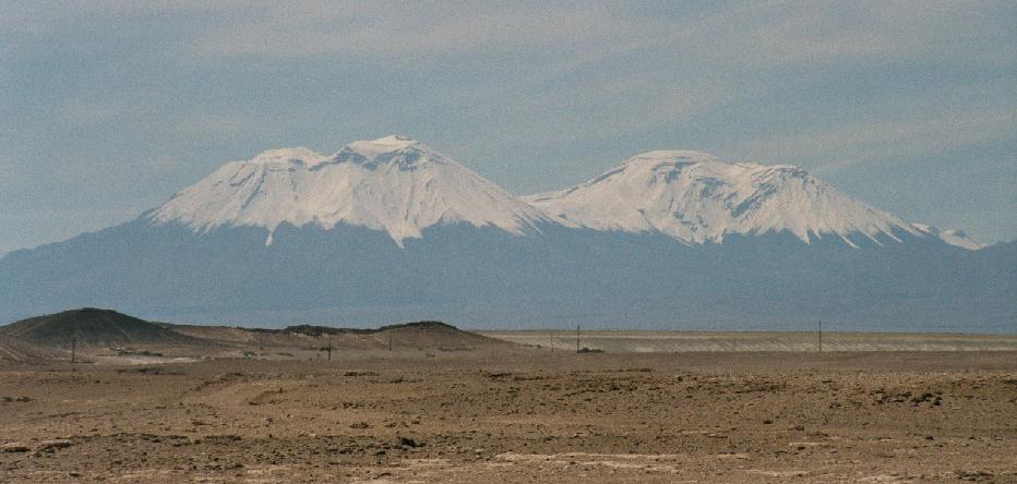
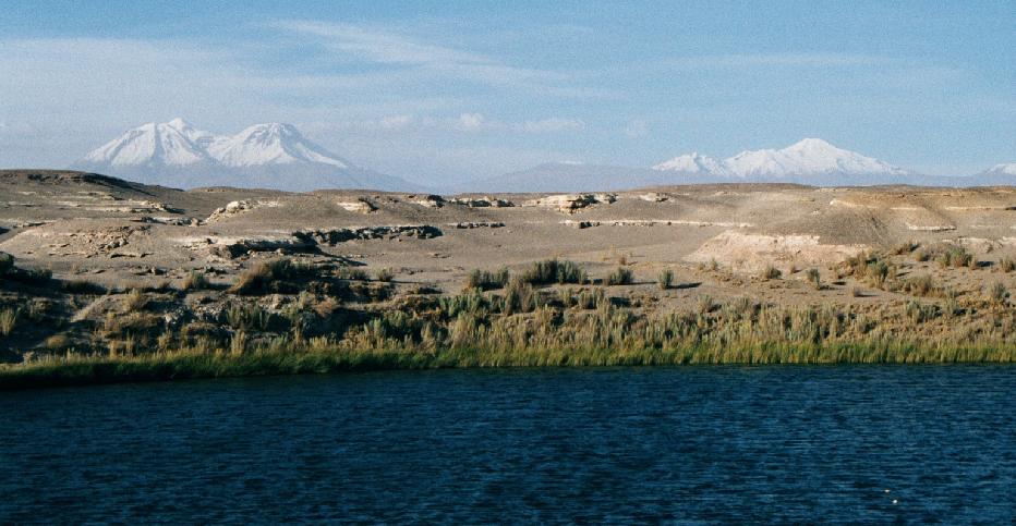
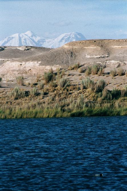
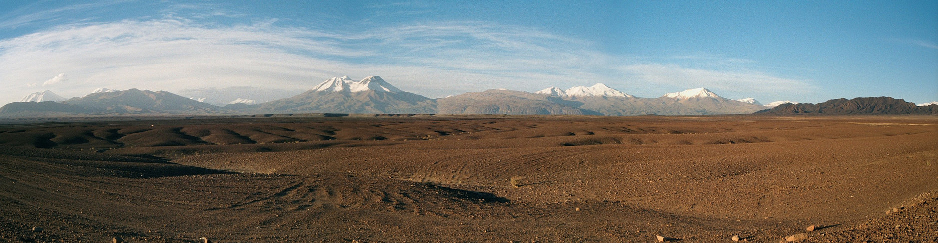
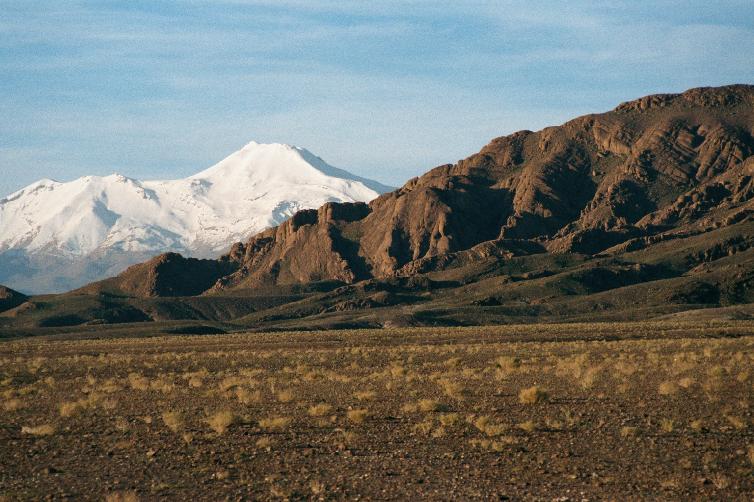
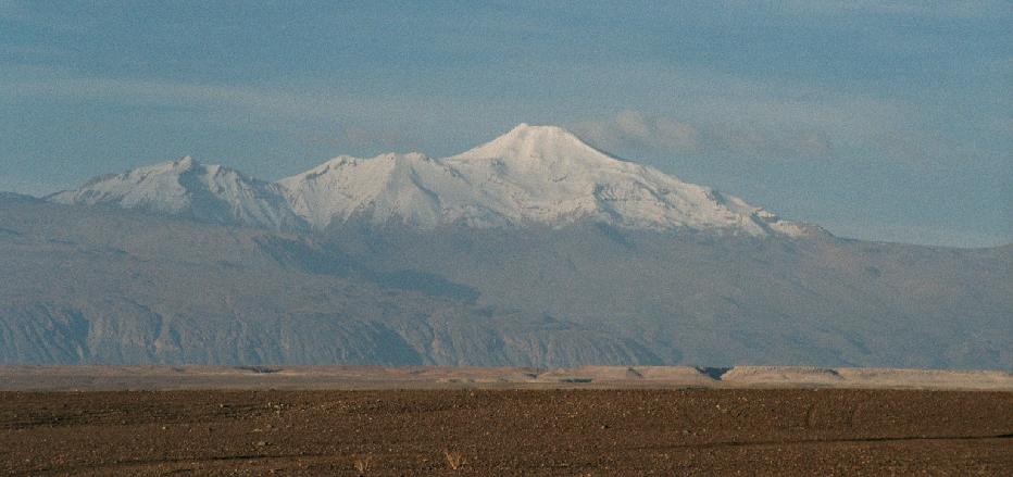
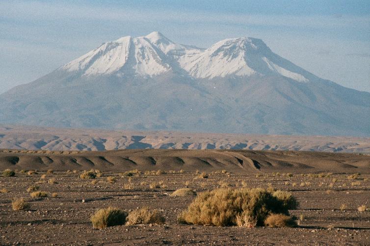
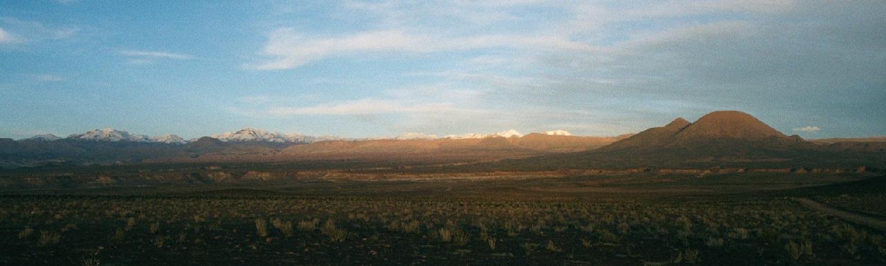
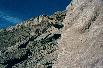
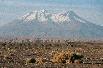
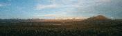
Heading toward the Andes and Caspana.
A magnificent chain of volcanoes stretches from horizon to horizon.

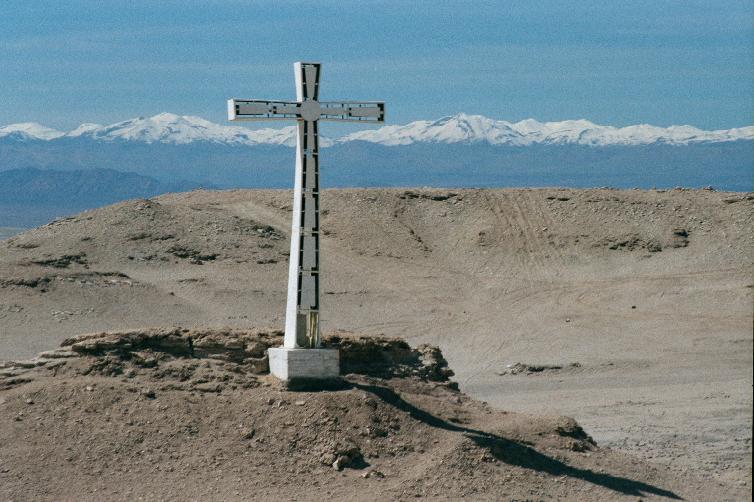
Continuing along the road, passing wayside casualties.
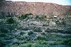
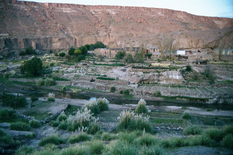
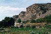
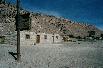
In and near Caspana, pop 400, elev 3300m.
This village, hidden in a remote valley,
dates from pre-Columbian times
and shows the characteristic agricultural terraces.
Return to main Chile index