Chile: San Pedro de Atacama and vicinity

 Updated 31 August 2001
Click on these stamp-sized images to see larger versions.
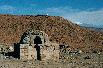
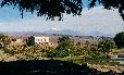
San Pedro


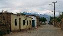
San Pedro de Atacama, pop 1500, elev 2438m/8000ft,
the "capital" of the region.
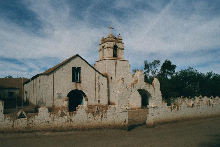
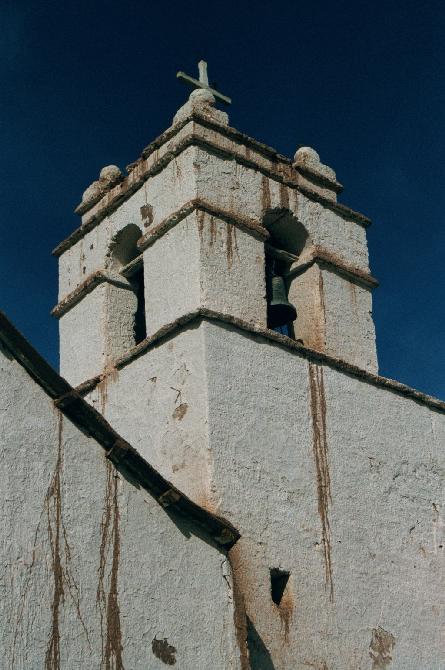
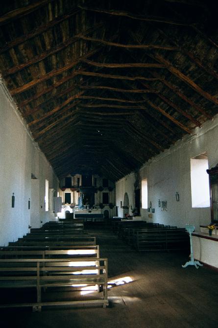
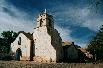
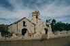
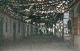
1st-4th: Iglesia de San Pedro, dating from 1641
(some portions constructed over the ensuing centuries).
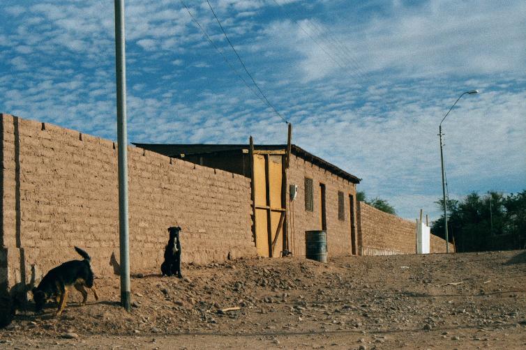
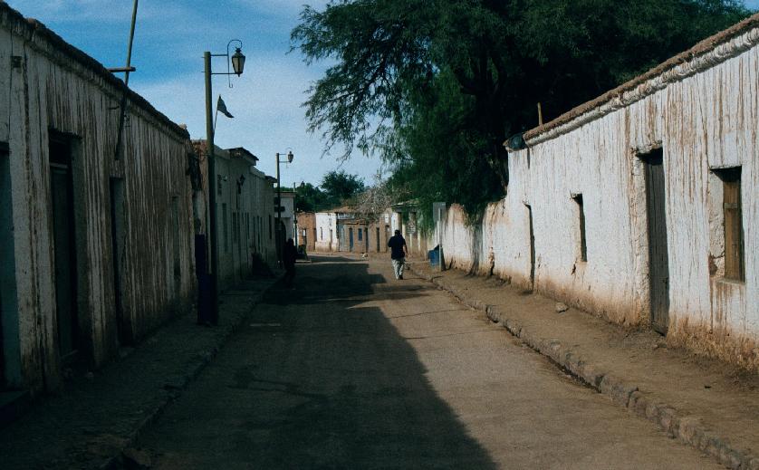
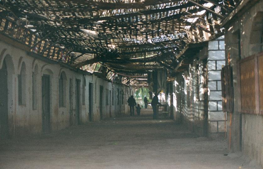
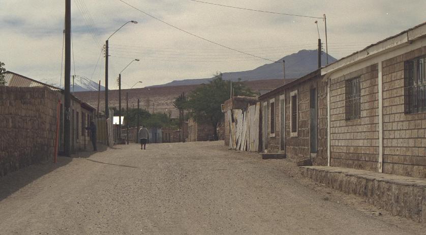
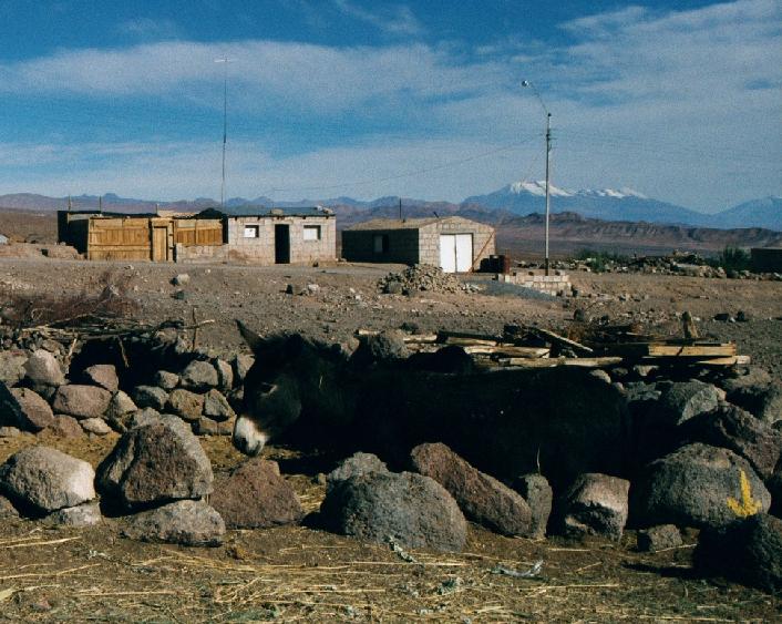
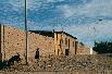
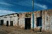
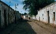
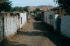
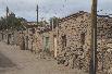
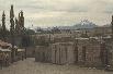
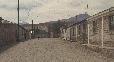
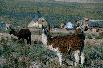
5th-9th: Streets of San Pedro, minus the ubiquitous foreign
trekkers.


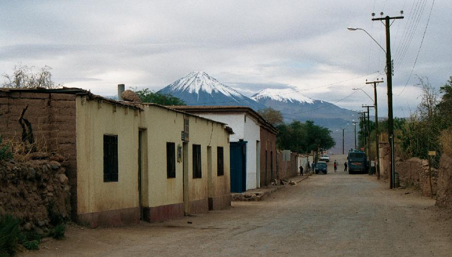
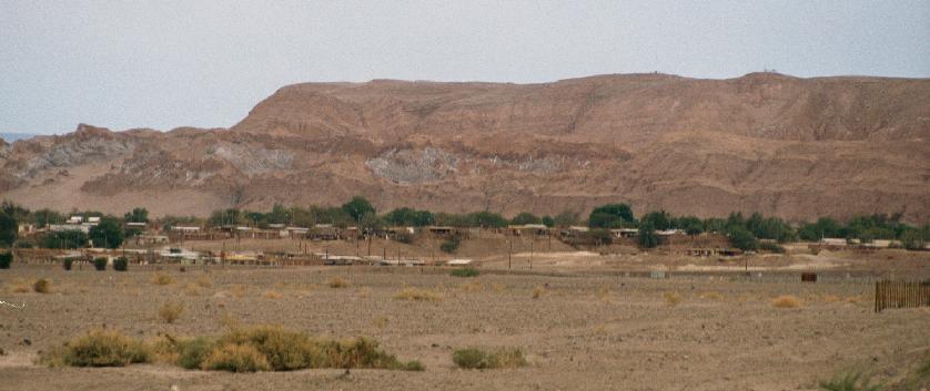
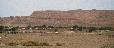
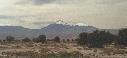
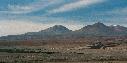
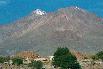
1st-2nd: Scenes of the town with a desert outcrop in the background.
3rd: Paseo Artesanal.
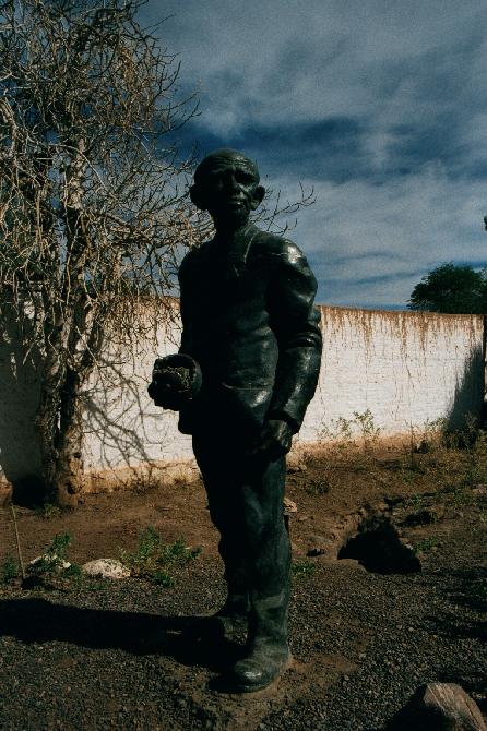
4th: Statue of Gustavo Le Paige S.J., founder of the archaeological
museum in San Pedro.
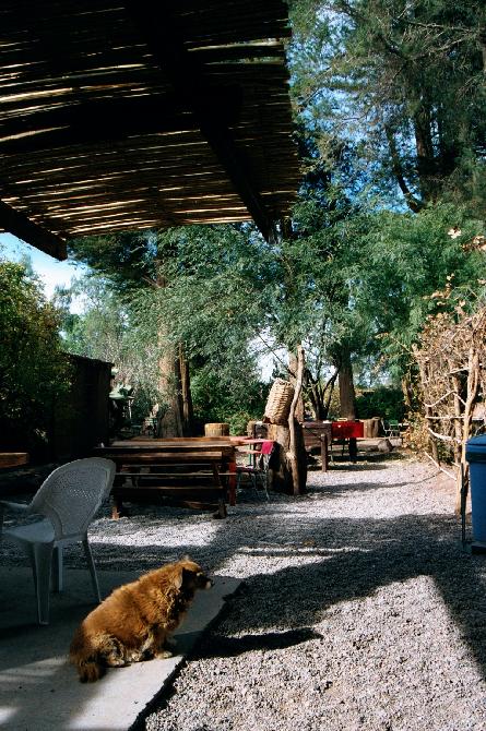
5th: Back yard of Hostal Takha Takha.
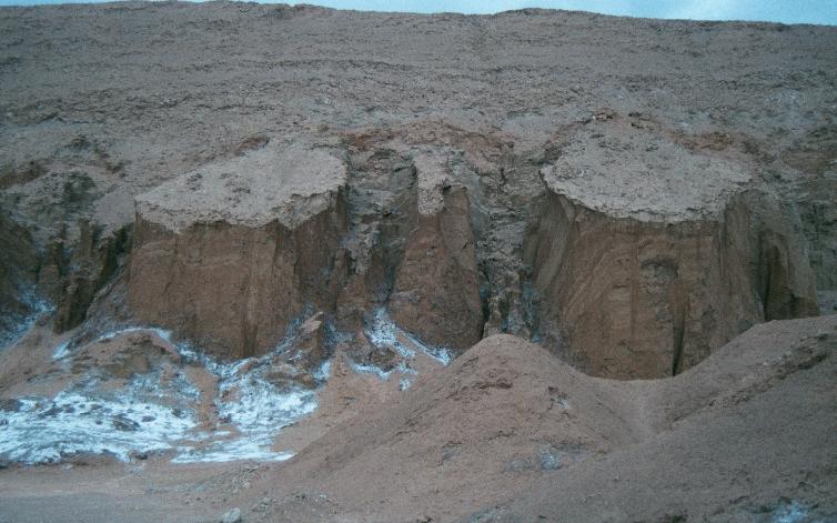
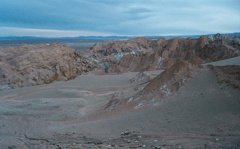
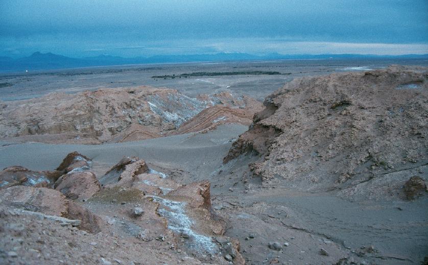
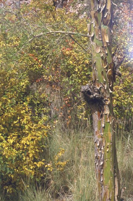
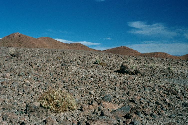
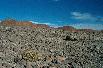
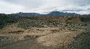
Valle de la Muerte adjoins the town.
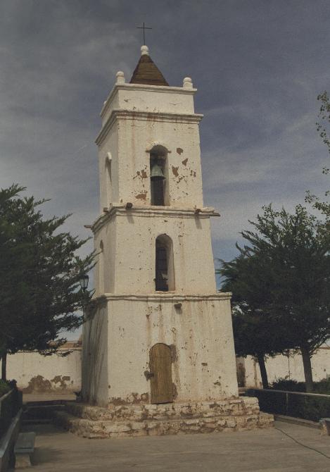
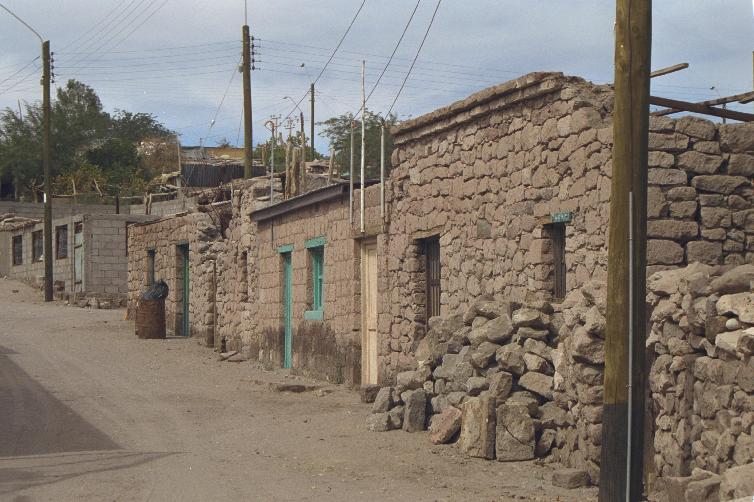
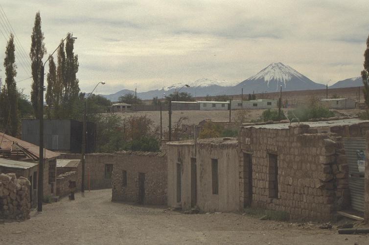
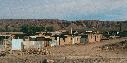
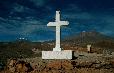
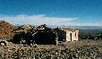
Toconao

Toconao, pop 500, elev 2475m/8100ft.
This village area is known for its fresh, arsenic-free water.
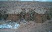
Note the houses constructed from volcanic rock.
The church bell tower is Campanario de San Lucas.
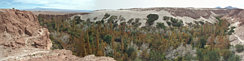


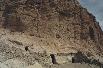
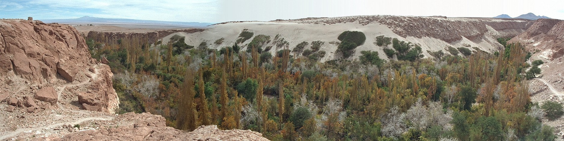
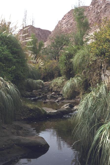
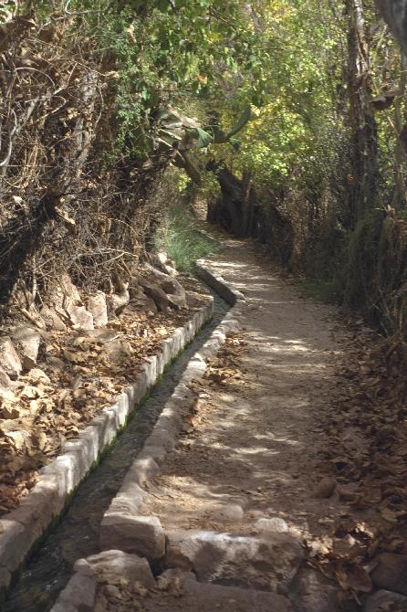
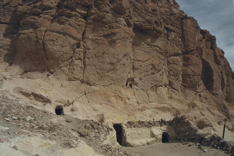
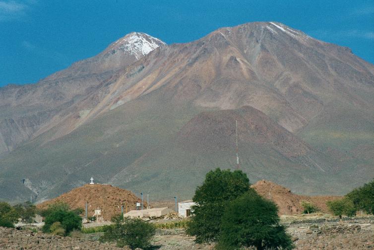
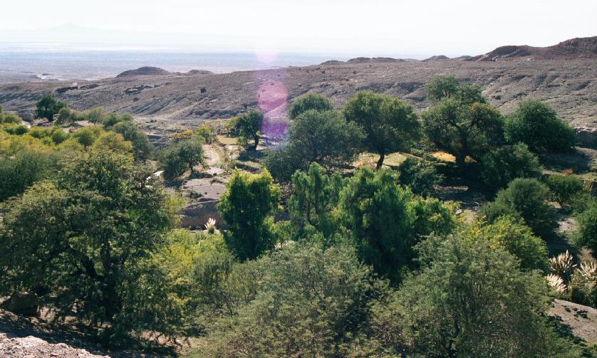
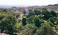
Leading into Toconao from the hills is the Quebrada de Jerez,
an oasis in the desert.
See here for an alternative look
at the last photo.
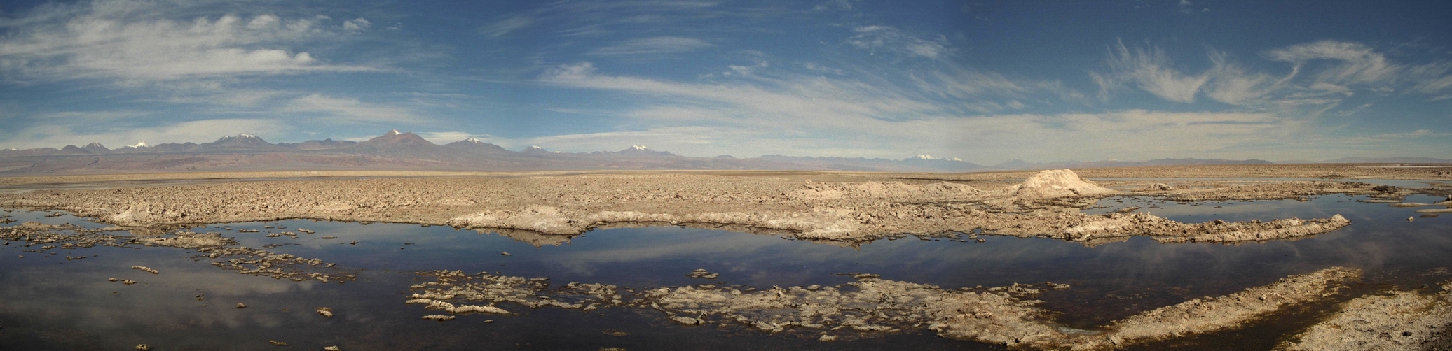
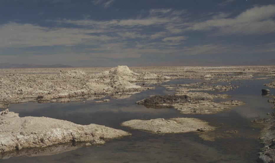
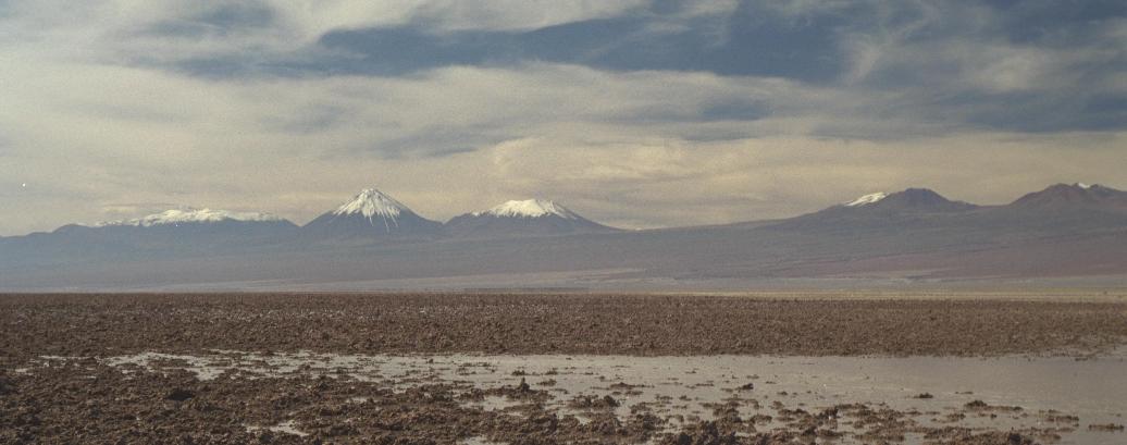
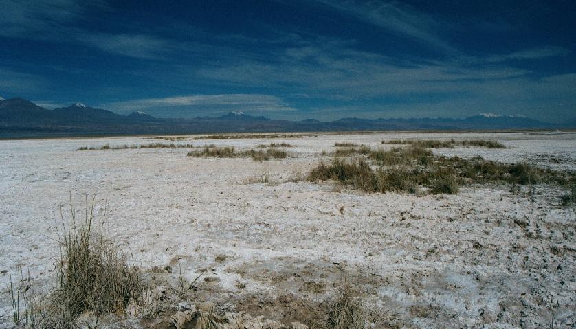
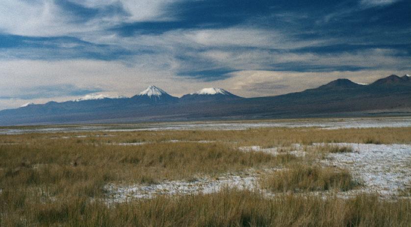
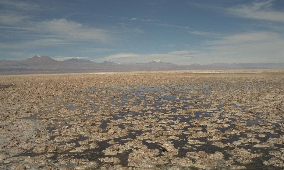
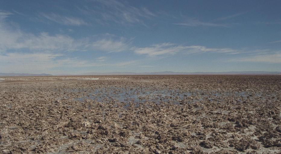
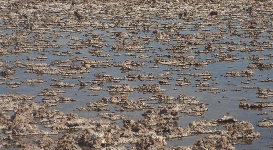
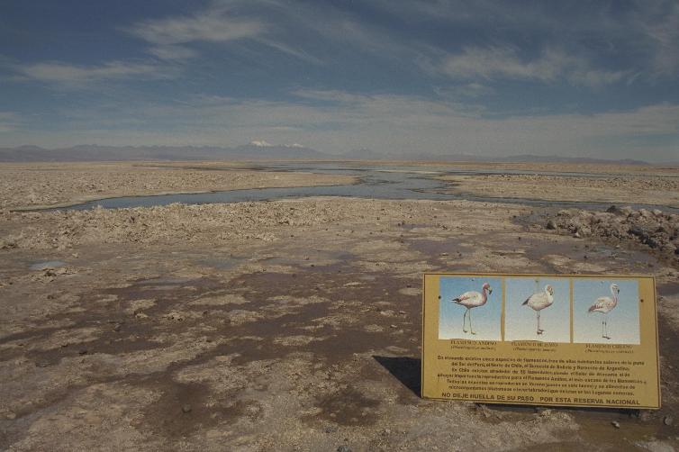
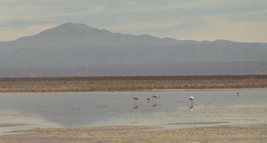
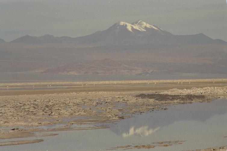
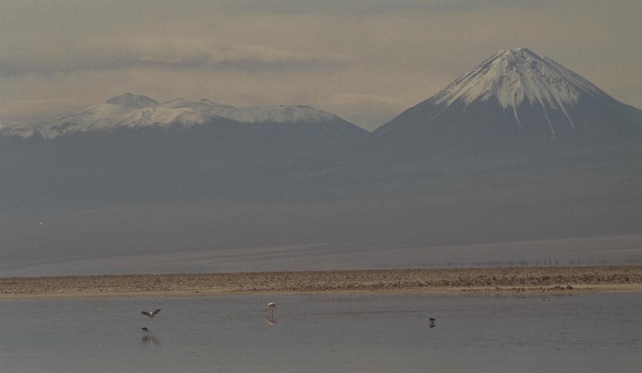
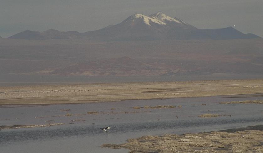
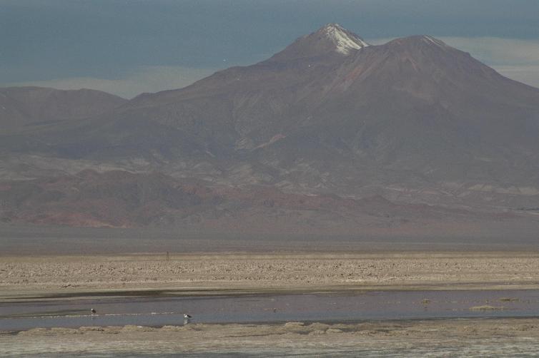
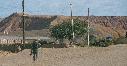
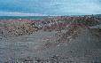
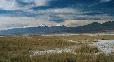
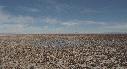
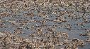
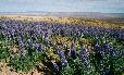
Laguna Chaxa
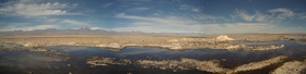
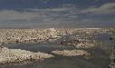
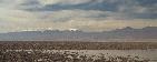
Laguna Chaxa in the Salar de Atacama, sector Soncor of the
Reserva Nacional Los Flemencos,
elev 2305m/7600ft:
the largest salt deposit in Chile.
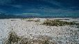
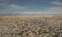
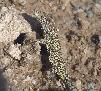
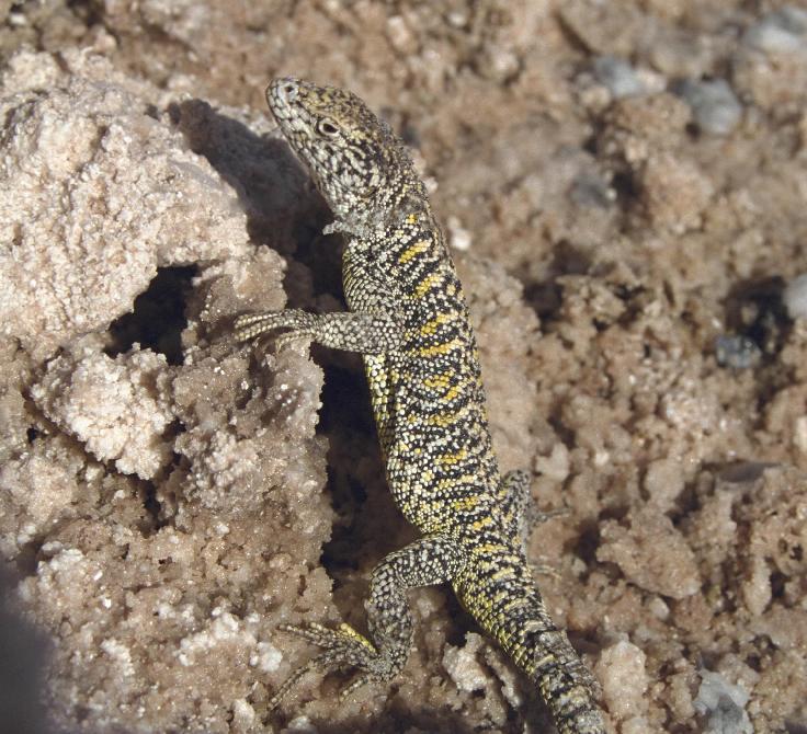
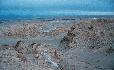
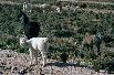
The salt flats look forbidding, but harbor all kinds of life, including
this lizard.
See here for an alternative view.
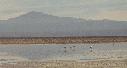
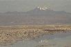
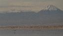
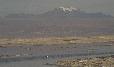
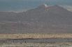
Further, the area is a breeding ground for three species of flamingos,
which can be seen along with other water birds in the distance in all
of these photos.
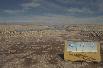
For a close-up of the explanatory sign,
see here.
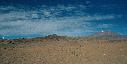
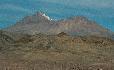

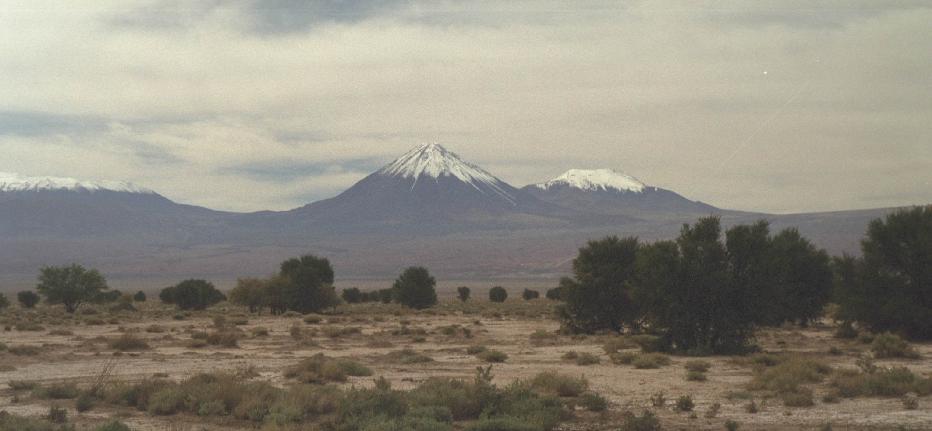
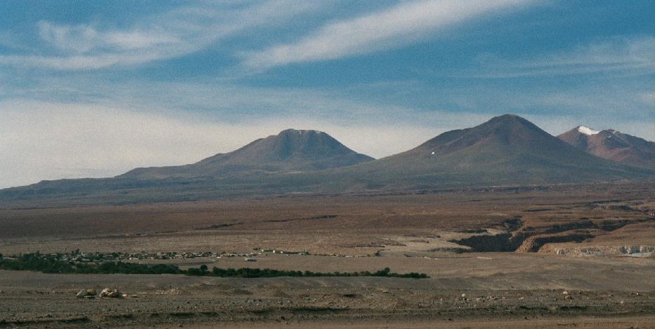
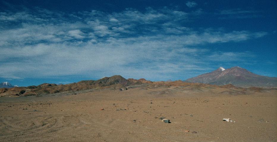
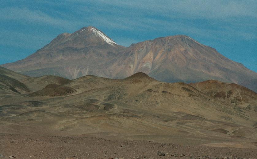
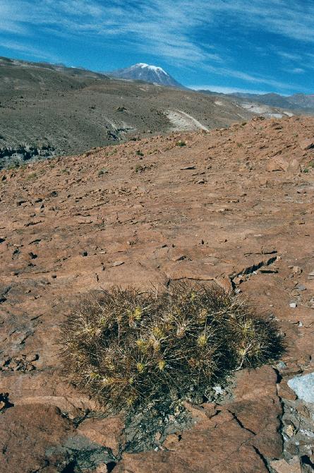
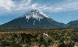
Scenes of the mountains rimming Salar de Atacama.

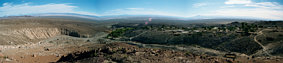

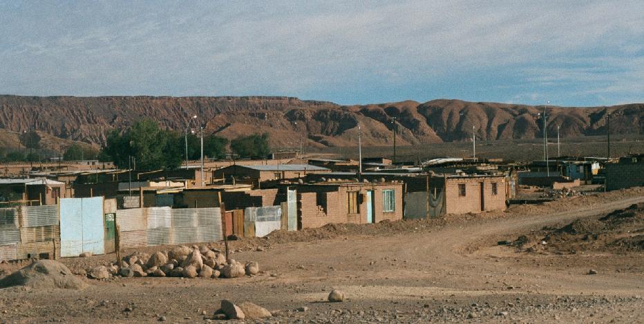
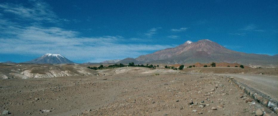
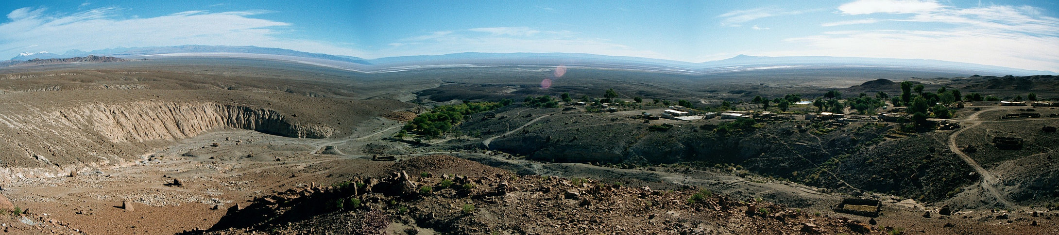
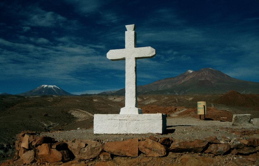
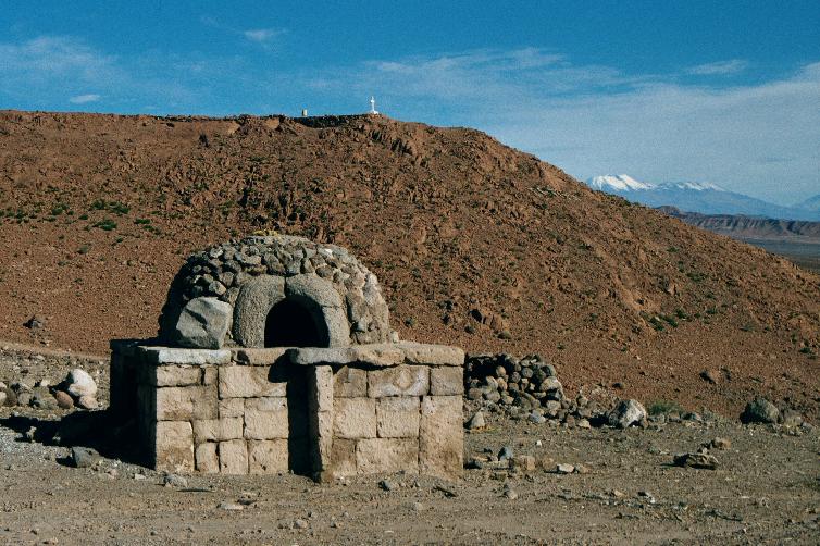
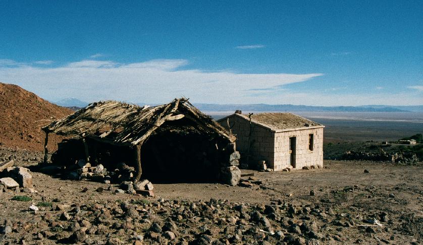
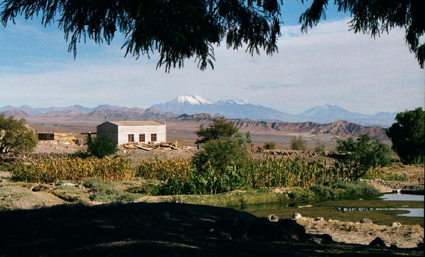
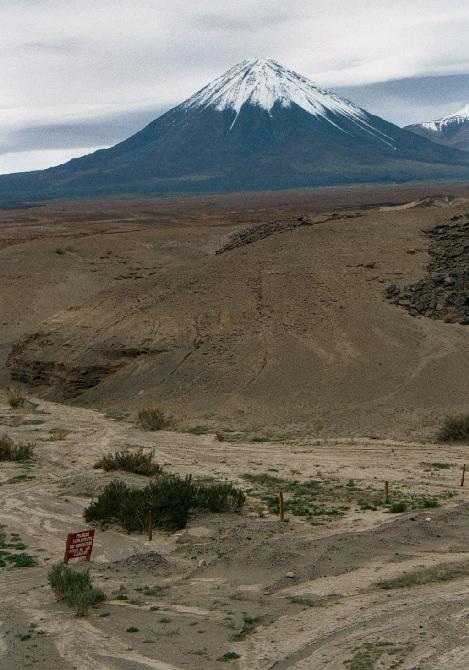
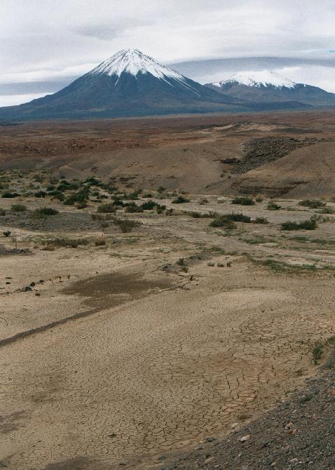
Camar, a village of pop 60, in the foothills overlooking the Salar de Atacama.
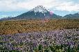


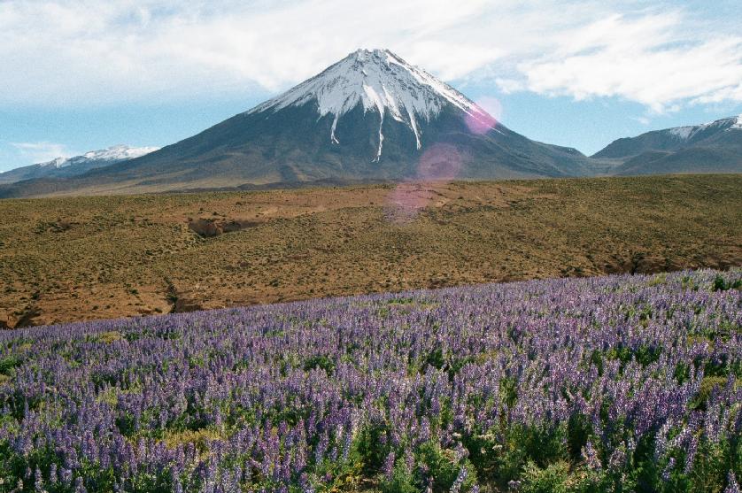
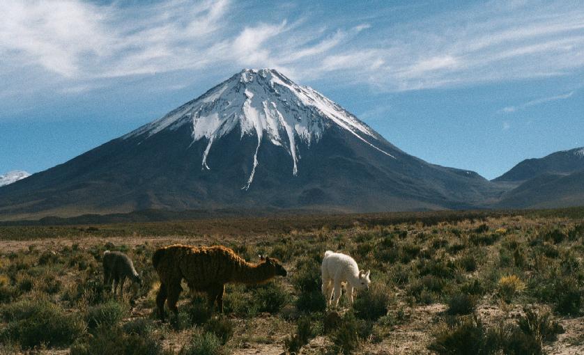
Looming above the landscape is Volcán Lincancábur (5916m/19400ft).


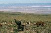
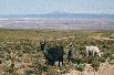
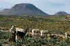
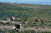
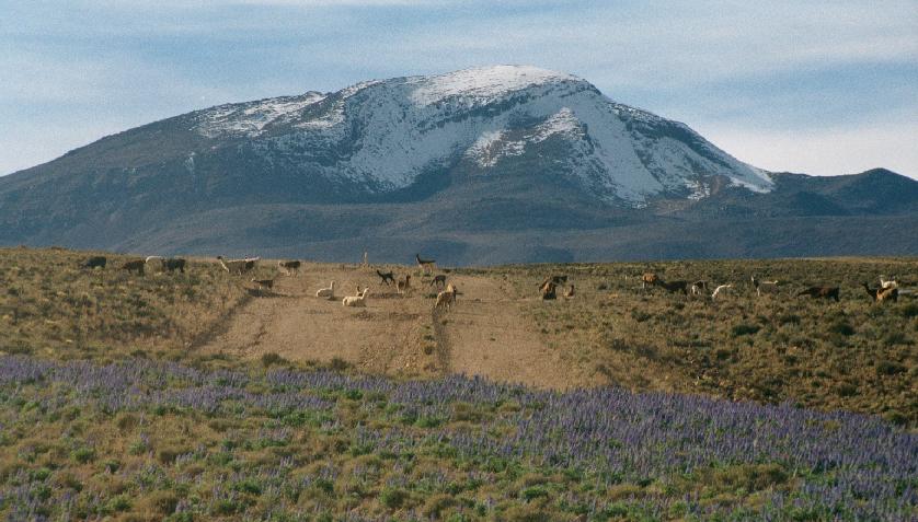
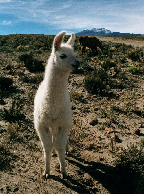
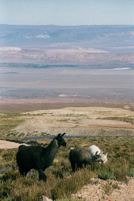
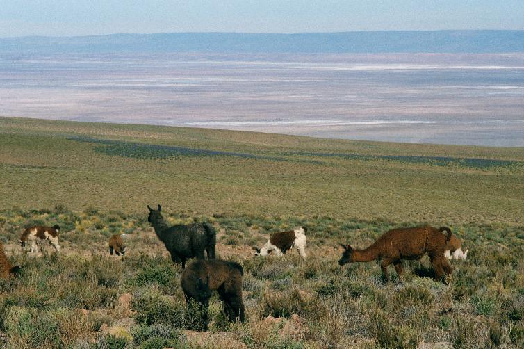
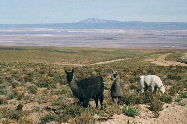
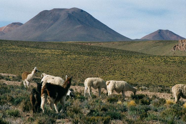
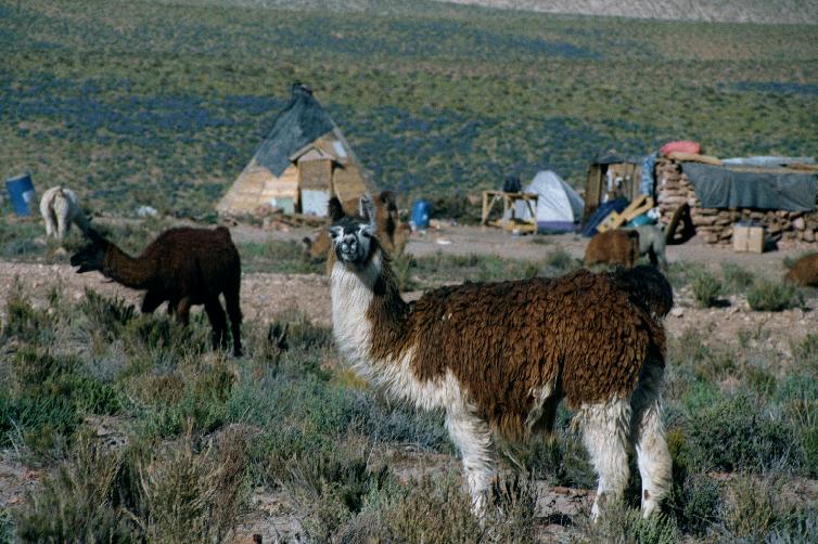
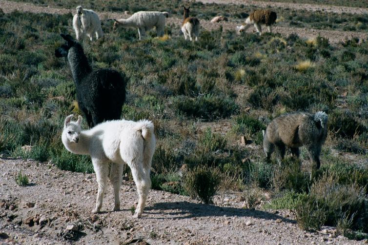
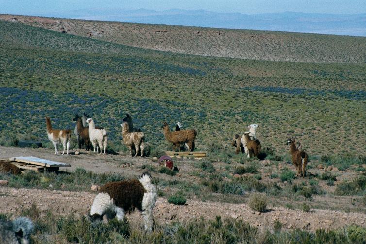
Llamas!
Return to main Chile page