Chile: Parque Nacional Torres del Paine

 Updated 4 September 2001
Click on these stamp-sized images to see larger versions.
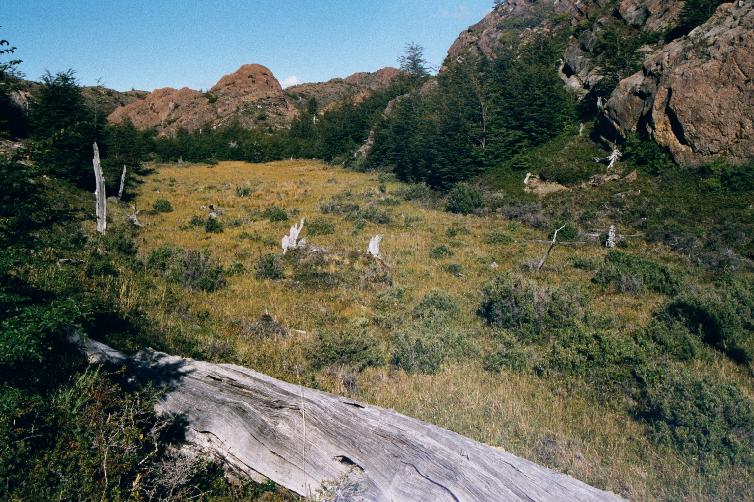
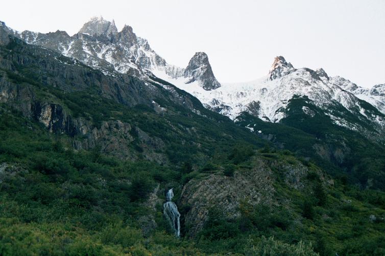
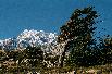
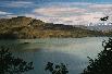
On approach


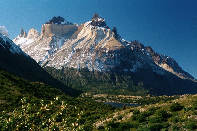
The park's magnificent mountainous mass springs up impressively
upon our approach.


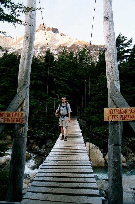
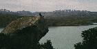
Crossing Lago Nordenskjöld.


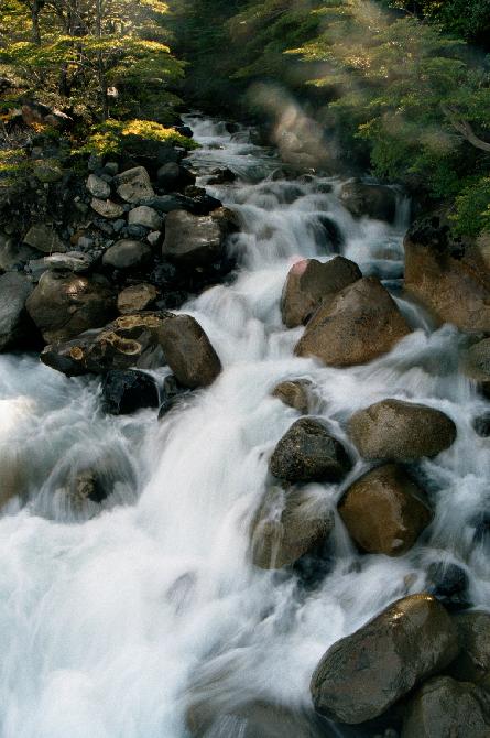
Salto Grande, the waterfall that empties Lago Nordenskjöld
into Lago Pehoe;
Cerro Paine Grande is in the background.
Trail to Glaciar Grey


Trekking up Quebrada de los Vientos toward Glaciar Grey.


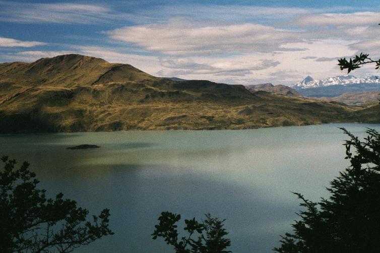
Crossing over the crest at about 200m, the small Laguna Los Patos comes
into view, and behind it the much larger Lago Grey.
Both lakes carved out by glaciers -- but their differing
colors betray their current origin: blue Los Patos (a tarn) is filled by snowmelt, and green Grey is fed directly by the melting and fast-receding
Glaciar Grey.
In the final photo, the glacier can finally be seen.


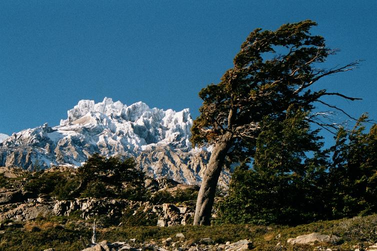
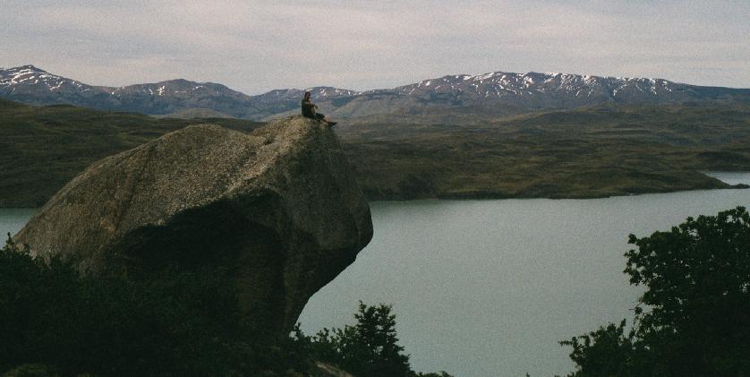
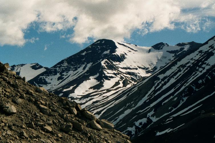
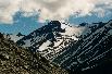
Spectacular views of Cerro Paine Grande from the trail high above the
lakeside.


Scenes from around Albergue Grey.
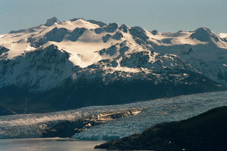
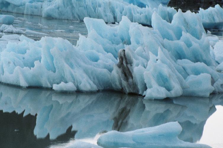
Glaciar Grey


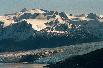


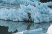


Lago Grey and Glaciar Grey:
the southern tip of Campo de Hielo Sur Grande (The Great Southern Ice Field),
the largest ice field in the world outside of the poles.
Like almost all the other glaciers in Patagonia, this one is fast retreating --
recent photos show it extending a kilometer further down the lake.
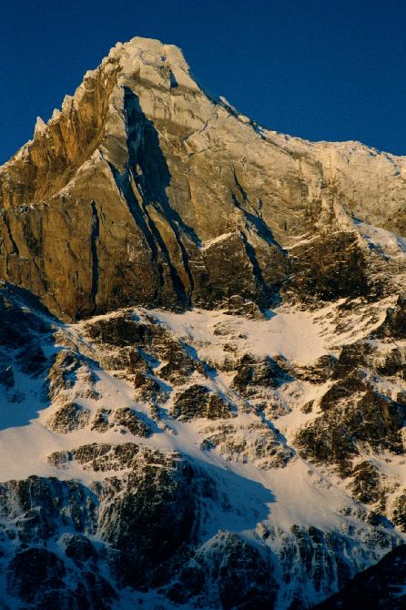
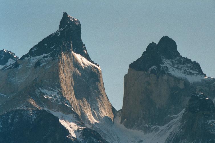
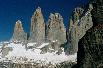
Cuernos del Paine


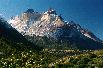


"The Horns", and the central feature of the park,
extending up to 2600m/8500ft.
Up close, they appear as unbelievably huge solid blocks of rock.
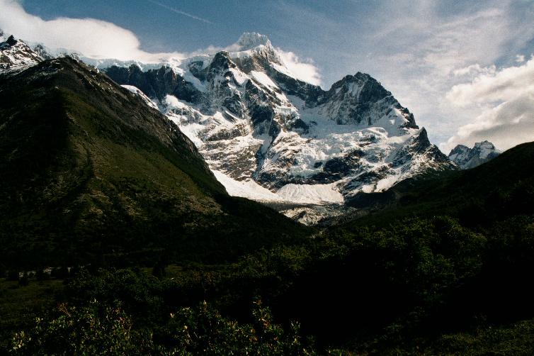
Valle del Frances


Valle del Frances, nestled between Cerro Paine Grande and Los Cuernos,
and holding the cirque Glaciar Frances.


Views of Cerro Paine Grande's Cumbre Principal (3050m/1000ft).


Avalanche! Every few minutes, the telltale crackling and booming of
small avalanches could be heard for miles around, dropping material from
the packed snow above to the glacier below.
The snowpack must be 100 meters thick in places!
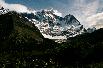
Trail along Lago Nordenskjöld.


The trail along Lago Nordenskjöld, beneath the shadow of
Los Cuernos, ending at Albergue Los Cuernos.
To see a java-based panorama, see
here.
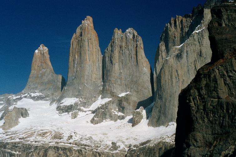
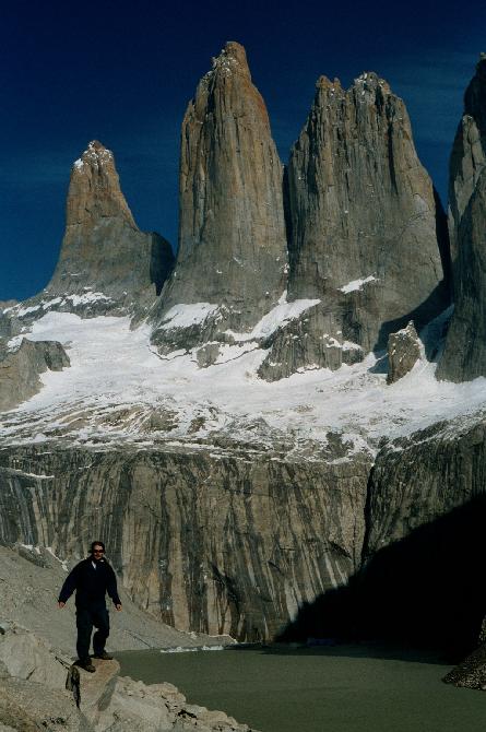
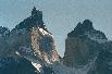
Torres del Paine


The trail toward Las Torres first climbs 500 arduous meters up
the Cuesta Uphill, then
crosses over into the spectacular Valle Ascencio,
with Albergue Chileno perched next to the Río Ascencio.


Pleasant scenery on the way between the camp and Las Torres.


Las Torres, the most stunning sight of the park.
Towers, left to right: Torre De Agostini (2850m/9400ft), Torre Central (2800m/9200ft),
Torre Monzino (2600m/8500ft), Cerro Nido de Condor (2243m/7400ft).
Midway down is the glacier Ventisquero Torres, and below that is
a grey meltwater lake.
From the top of these behemoth spires down to the snowfields is over
1000m. For comparison, the tallest buildings in the world are
about 400m, and the Toronto CN Tower is 550m high.
The final photos show the famed sunrise effect of Las Torres, as
seen from the camp (we were too lazy start hiking 2 hours before dawn to
see this up close).
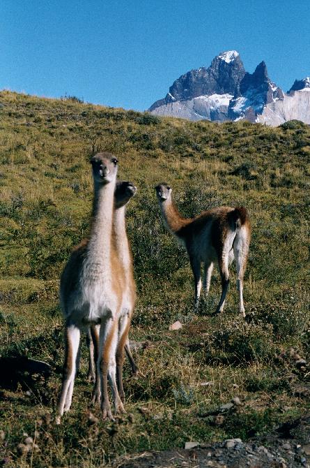
Wildlife


Guanacos -- don't get too close or they'll spit!


Other critters of the park.


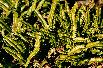


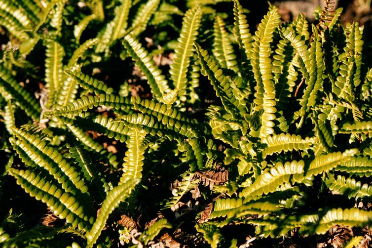
Flora of the park. The berries are edible, and the spiky things have
amazing adhesive properties.
Return to main Chile page