Groningen provincie


 Updated 3 Nov., 2000
 Updated 17 August 2001
Click on these stamp-sized images to see larger versions.
Overview


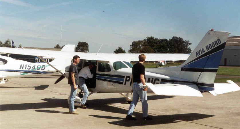
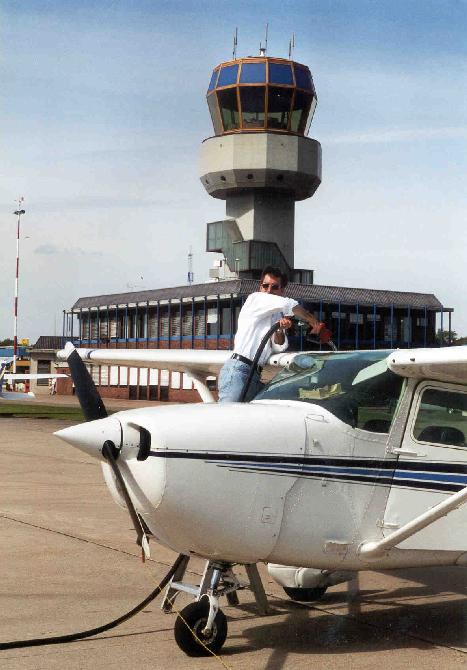
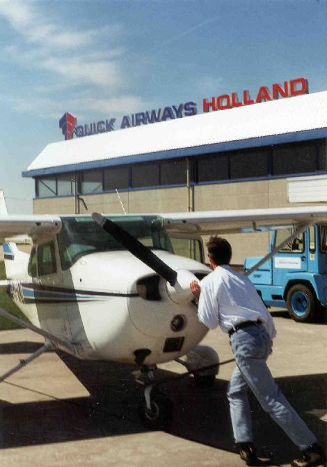
1st-3rd:
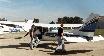
Ready for departure in a four-seater plane from Eelde airport (just south
of Groningen, over the border in Drenthe province).
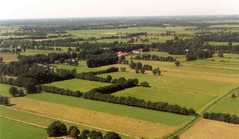
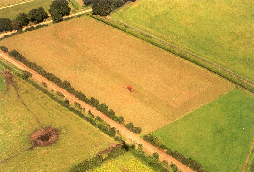
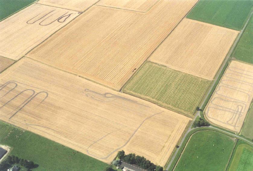
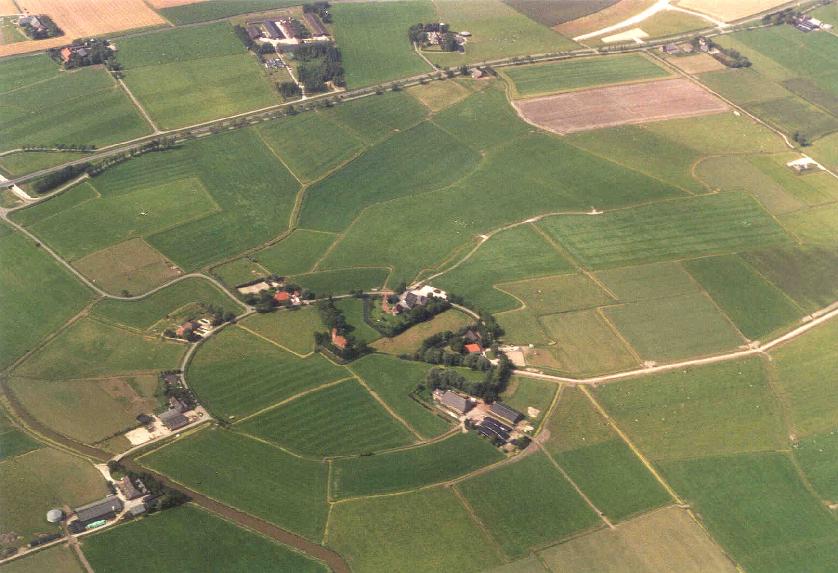
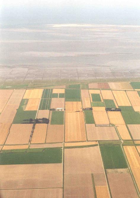
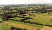
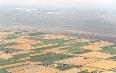
4th-5th:
From the air, the grid of flat farmland, marked off by canals,
quickly becomes apparent.
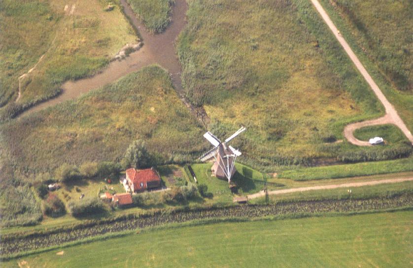
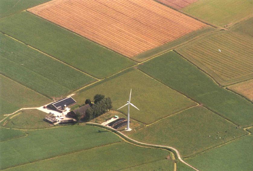
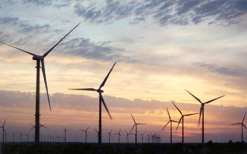
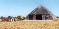
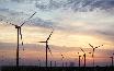
6th-7th:
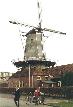
Windmills old and new.
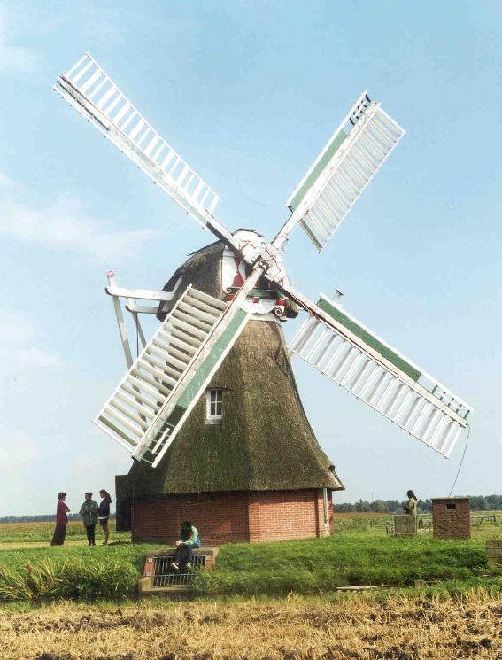
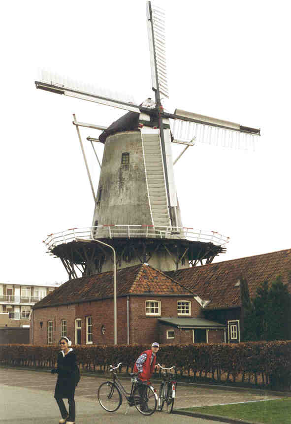
8th:Windmill up close.
It only runs when the volunteer caretakers are there to watch it,
and when idle, the blades are turned to the pictured position to
prevent vandals from climbing up into it.


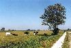
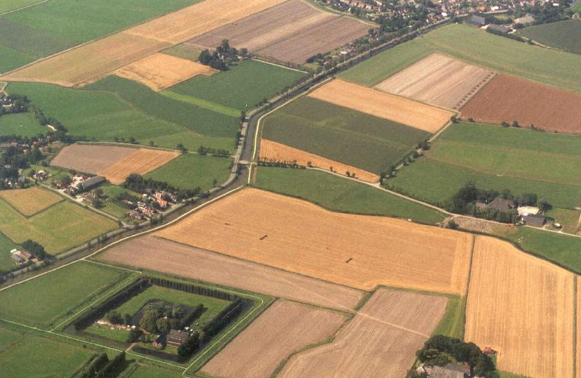
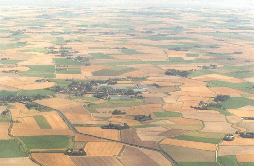
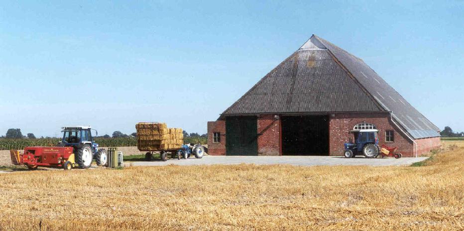
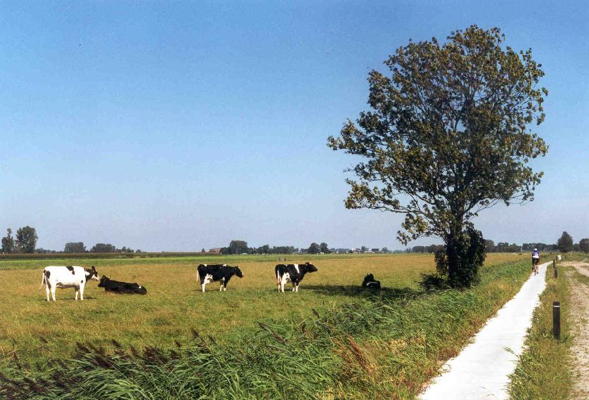
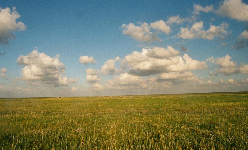
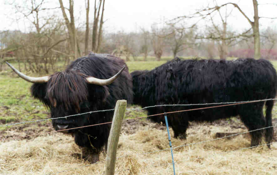
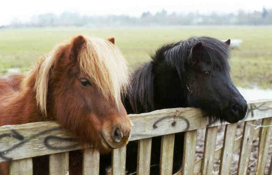
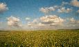
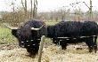
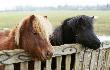
1st-4th:
Fields of corn and potatoes, pastures for cows and sheep, all in
variegated splendor.
5th-7th: Up close.


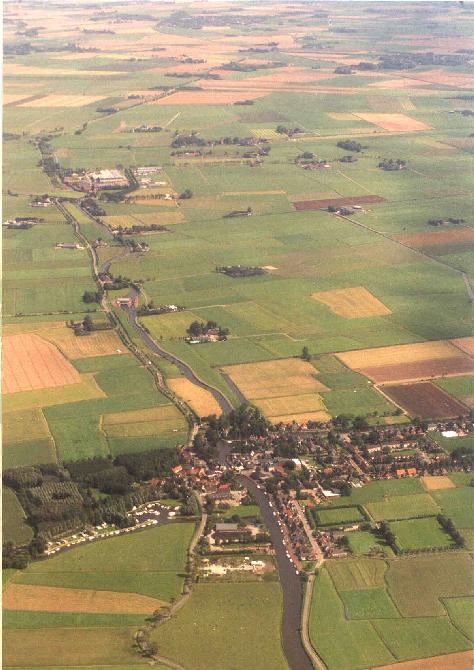
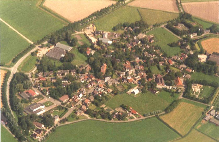
1st-2nd: Many a dorp (country village) is arrayed around a "wierd" or "terp"
(mound) upon which the village church perches.
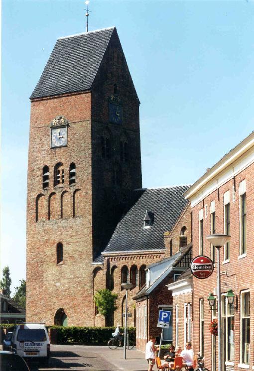
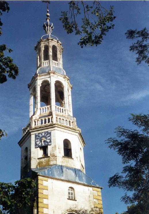
3rd-4th: Dorp churches at street level.
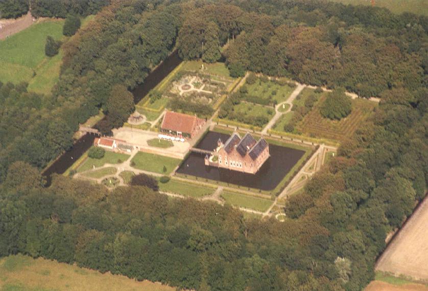
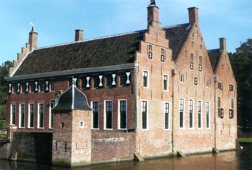
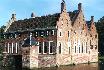
5rd-6th: The castle Menkemaborg.
The hedge maze in the upper right takes an annoyingly long time to
traverse.
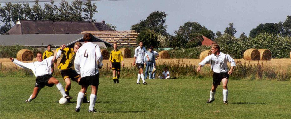
7th: The #1 national sport.


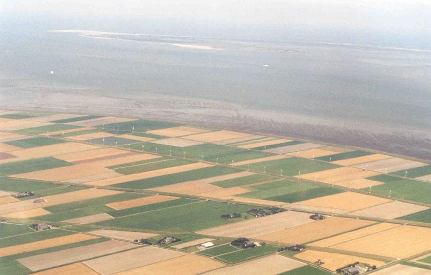
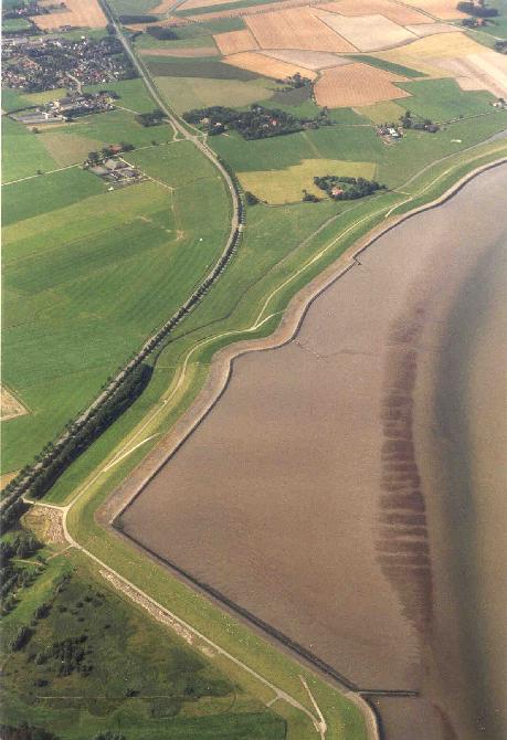
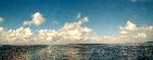
1st-2nd: We reach the coast, only 20 kilometers north of
the city. The water here is called the Waddenzee. It is
separated from the North Sea by the Frisian Islands. A minor component
of this island chain can be seen here just off the coast.
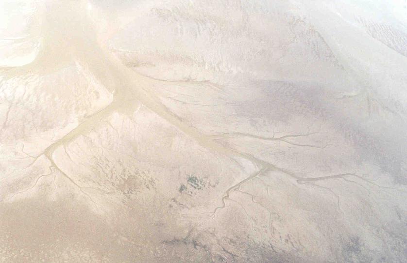
When the tide goes out, the mud flats are exposed all the way out to
the islands, and one can (with an experienced guide) engage in the
popular sport of wadlopen (see below!)
A close-up of the long chain of wind turbines can be seen
here.
3rd: Ground-level view of the turbines.
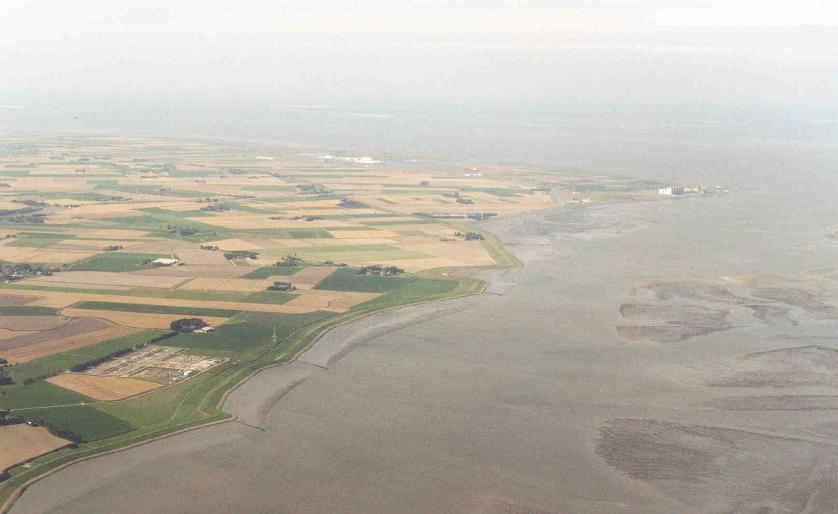
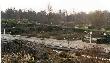
4rd: The fields here seem to extend underwater. These are
remnants of the "landoverwinning" -- the now-abandoned march northward of land
reclamation from the sea (environmental concerns gained sway in the
1960s).
5th-6th: Het wad.
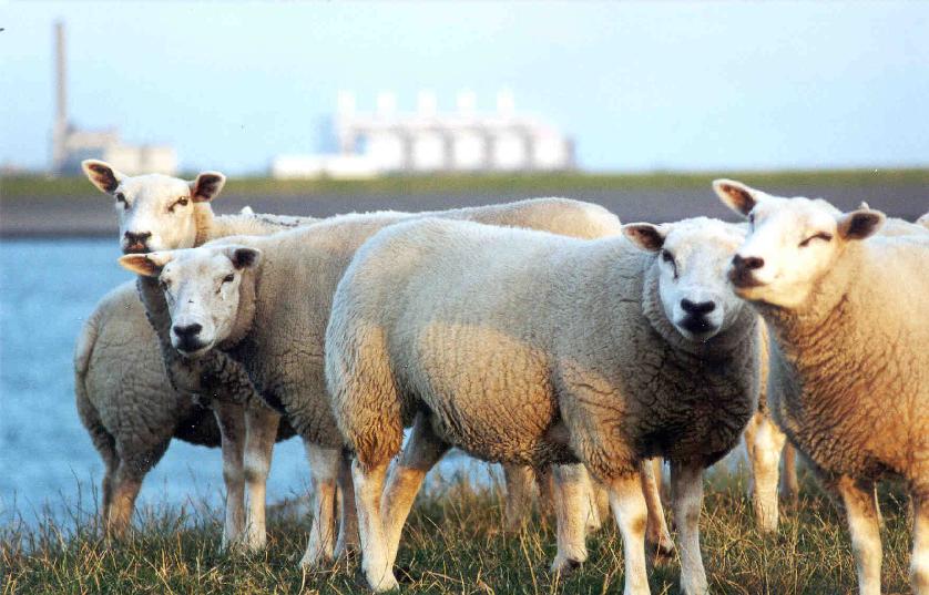
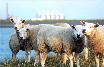
7th: Sheep at the seashore, with
large natural gas power plant in the background
(this area has one of the largest gas deposits in the world,
which is a big part of the reason the country is now so financially
well-off).
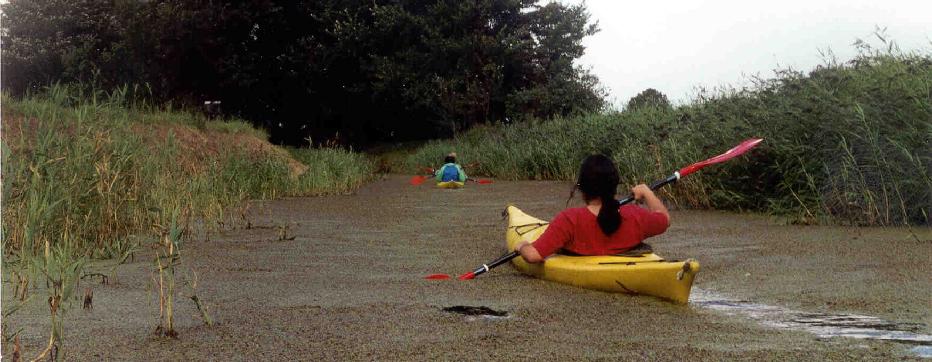
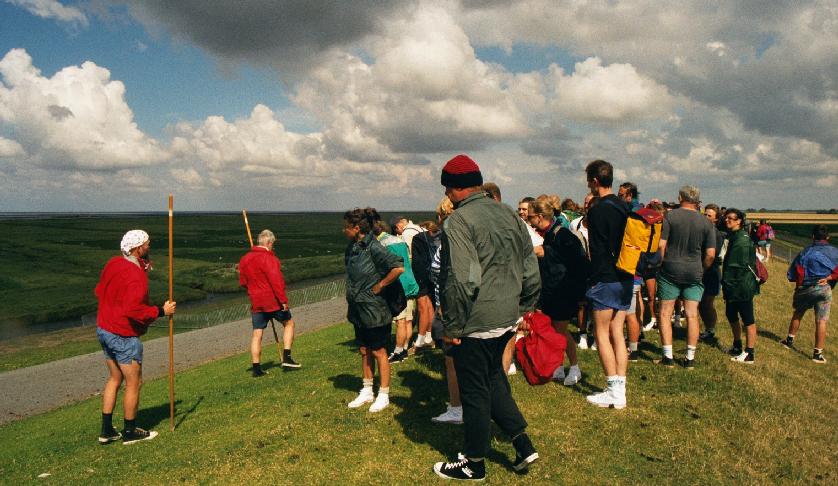
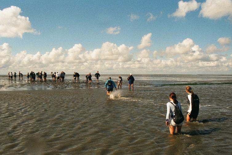
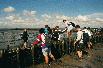
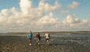
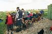
Wadlopen
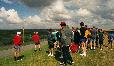
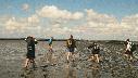

1st: The group assembles on the last dike on the coast near Pieterburen,
ready for a charge into the unknown.
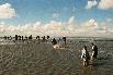
2nd-4th: The first obstacle is the massive mud field near
the shore -- too disgusting to do anything but enjoy!
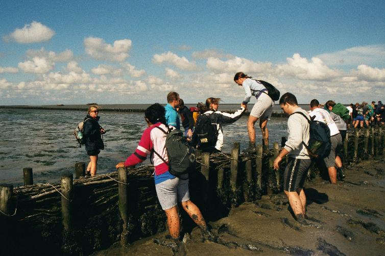
5th: Crossing one of the barrier fences used in the
(defunct) land reclamation process.

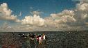
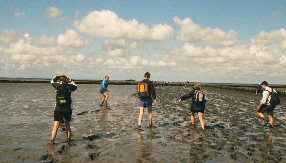
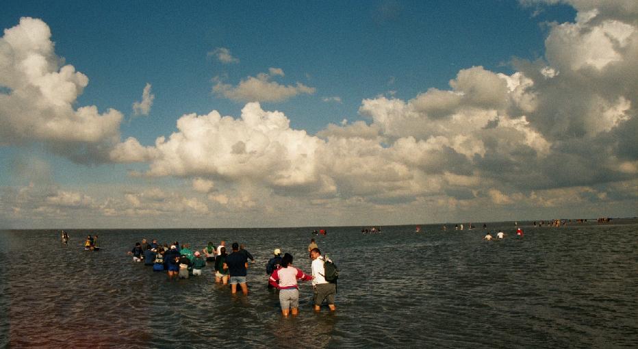
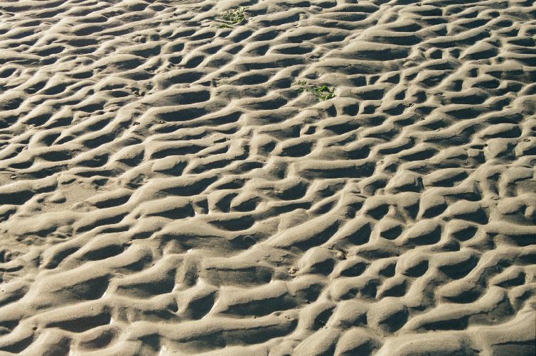
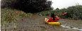
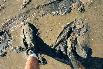
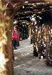
1st-2nd: We cross terrain composed of various consistencies of
mud...
3rd: ...and sand...
4th-6th: ...and water!


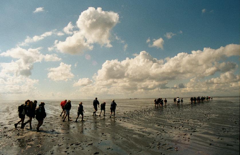
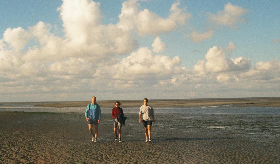
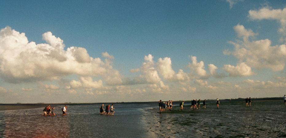
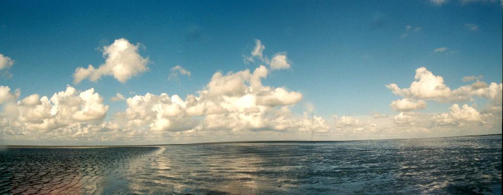
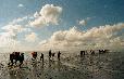
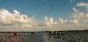
1st-2nd: The beautifully flat, wide-open expanses of
"Het Wad".
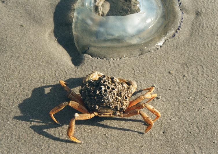
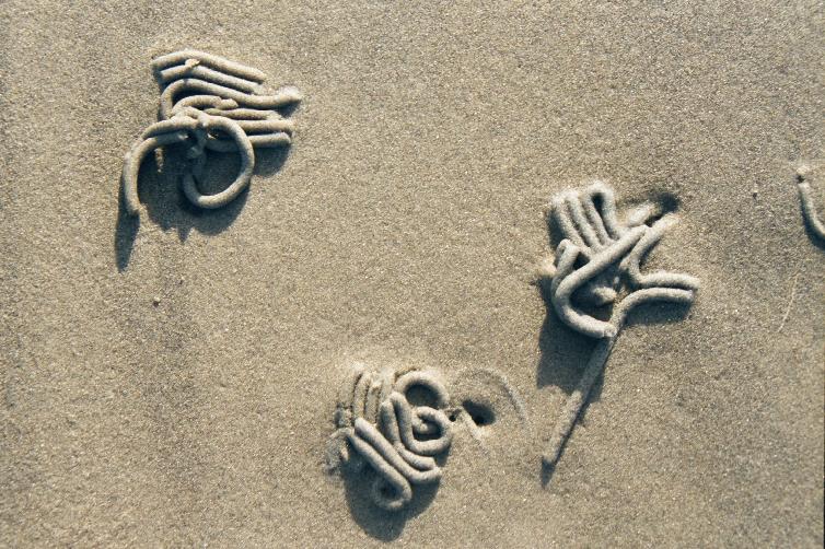
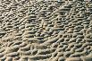
3rd-5th: Close-ups. The squiggly things on the sand
are excreta of subterranean worms.

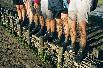
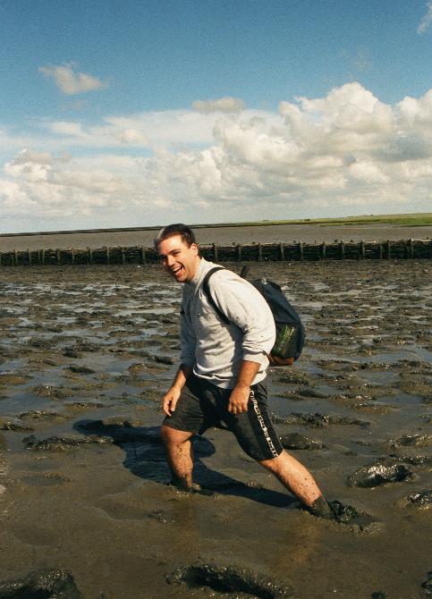
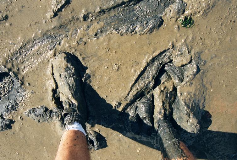
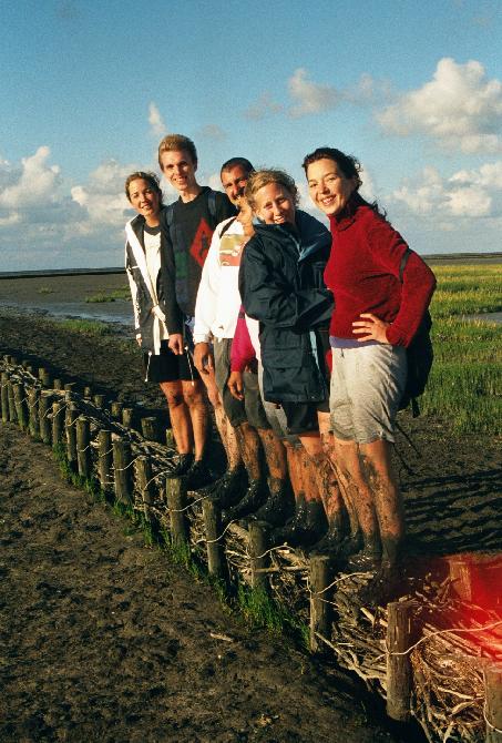
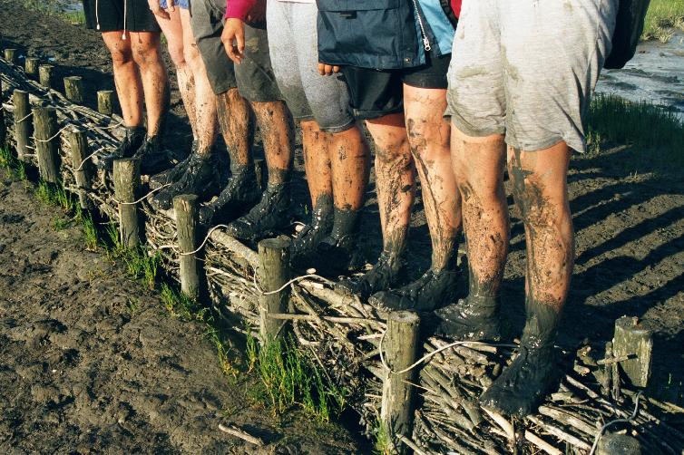
1st: Triumphantly dirty.
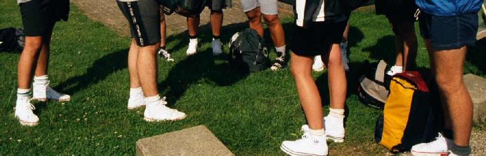
2nd-3rd: Our shoes: before and after. This is why we bought
cheap ones just for this trip.
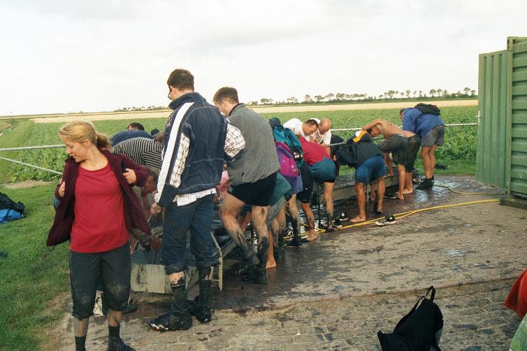
4th: You can lead a wadloper to water, but you can't make him bathe.
 Haren
Haren
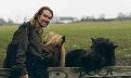
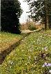
Haren is a town just south of Groningen.
With a peaceful rustic atmosphere, it is a popular place for professionals
to live, and commute into the city.
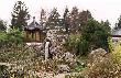

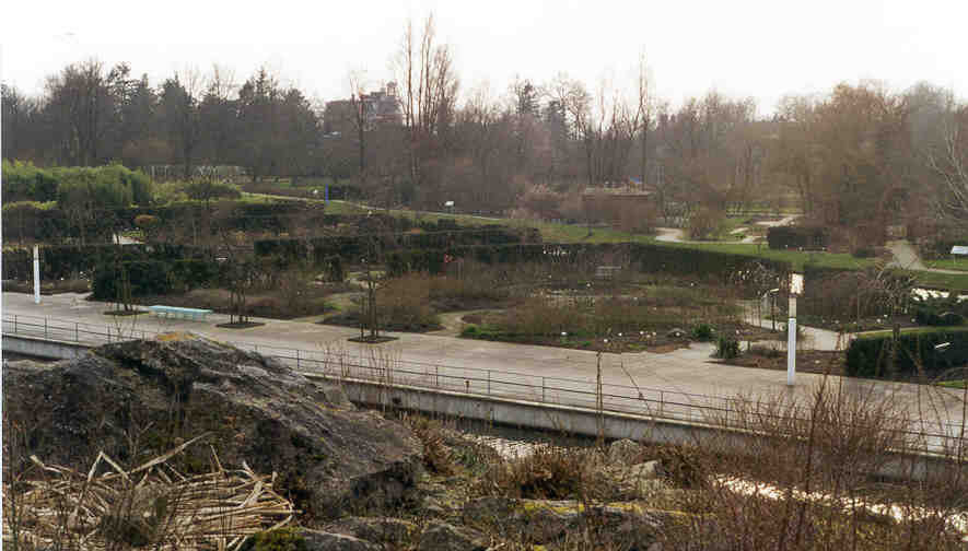
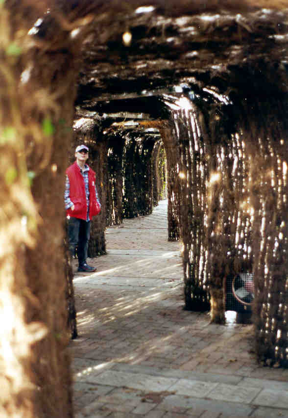
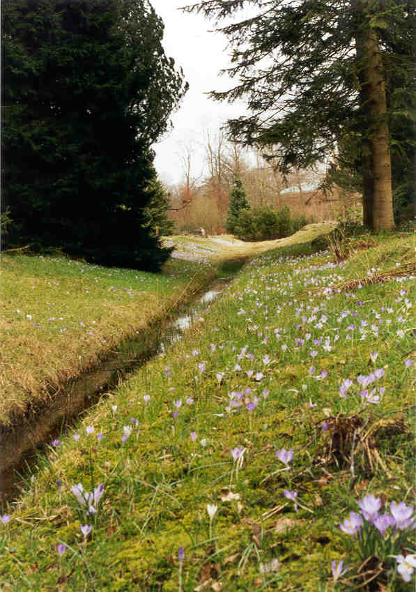
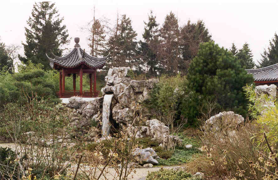
Hortus Botanicus (botanical gardens) in Haren.
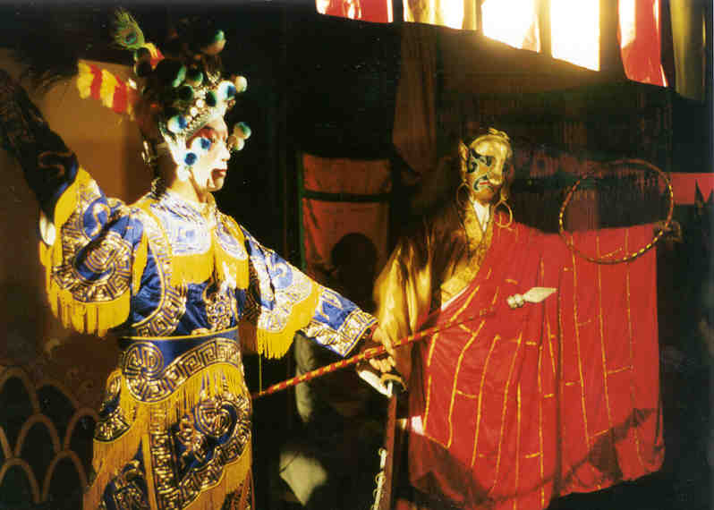
There was an indoor wax museum exhibit portraying life in Dynastic China.


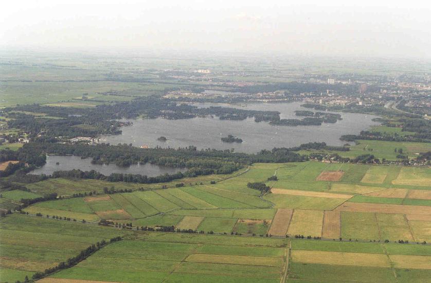
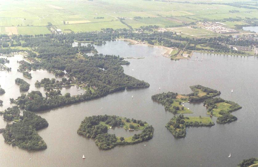
The Hoornsemeer, a recreational lake just outside the southern Groningen
city limits.
Return to main Nederland index